Last Updated on: 5th August 2024, 02:47 pm
One of the best ways to take in the surreal landscapes of Cappadocia isn’t with an expensive balloon ride or a group tour. Hiking Cappadocia is not only completely free, but it gives you some of the best vantage points of the region’s stunning scenery.
In this series of guides, we’ll be covering multiple day hikes you can take from Cappadocia’s main town of Göreme, with no additional transport required.
Below, we’ll be going over a highly rewarding loop trail which takes you through Love Valley and White Valley and then onto Uchisar Castle. When done with Uchisar, you can then return to Göreme via the scenic Pigeon Valley.
Check the end of the guide for more info on transportation and accommodation in Cappadocia.

What Makes Cappadocia so Special?
Cappadocia’s unique landscape owes itself to a combination of factors. A few different volcanic eruptions took place over 30 million years ago, after which the ash hardened into a type of limestone called tufa. The tufa was then subject to millions of years of erosion by both wind and rain.
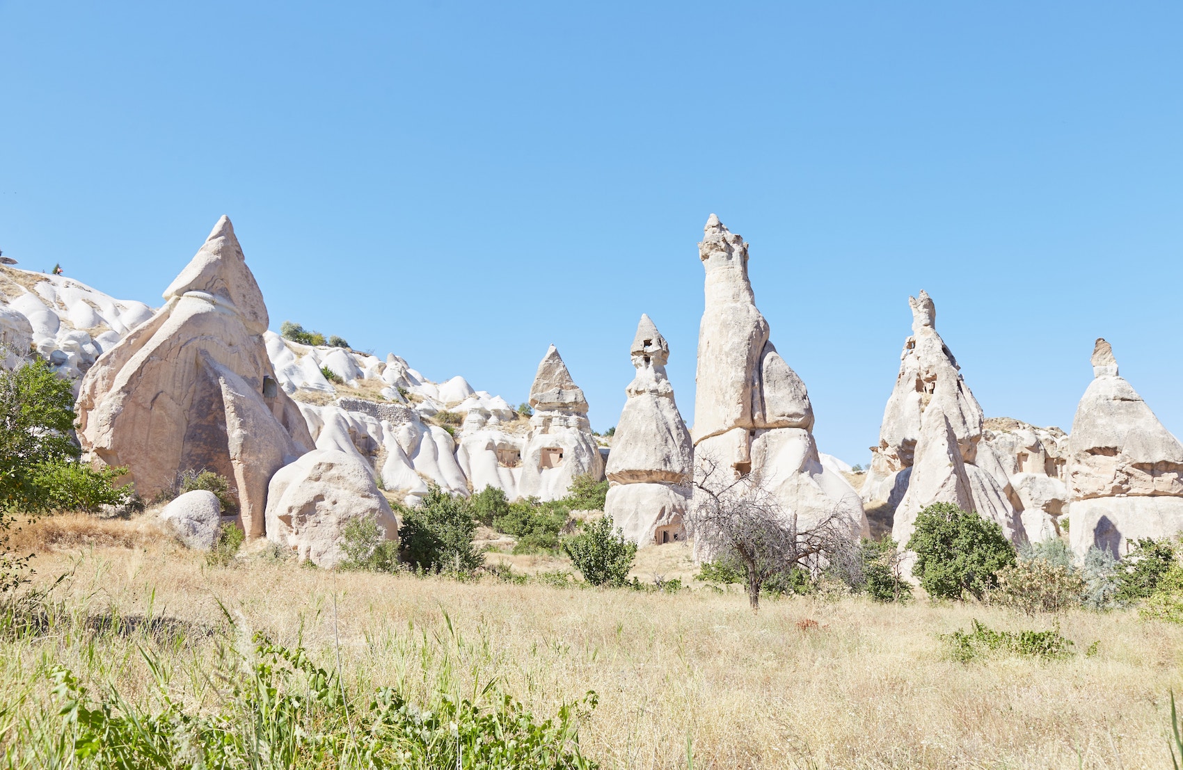
All sorts of strange shapes formed as a result, including Cappadocia’s iconic ‘fairy chimneys.’ The standalone rock towers do indeed resemble something out of a fairytale.
And given the different combinations of minerals in different areas, no two parts of Cappadocia look exactly alike. They not only vary in shape but also in color. With its ever-changing scenery, hiking Cappadocia provides a constant feast for the eyes.
About this Hike
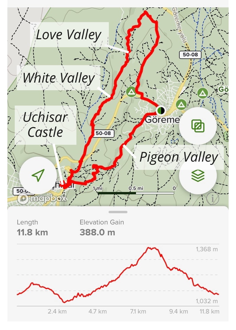
THE BASICS: Starting in Göreme, this hike takes you through Love Valley, White Valley and onto Uchisar Castle. You’ll then loop back around and walk through Pigeon Valley before returning to Göreme.
In total, it stretches out to 11.8 km and is generally rated as ‘moderate.’ Depending on your pace, it could take anywhere from 4-6 hours.
RECOMMENDED APPS: Cappadocia has hardly any signage or trail markers – surprising given the region’s popularity. But thanks to modern technology, you can rely on apps to find your way around.
For this hike, we recommend the app called AllTrails which guides you through the entire loop. It’s a free download, but it costs money to use offline. Luckily, most of Cappadocia has a decent signal.
As a backup, download Maps.me which works offline for free.
WHAT TO BRING: Be sure to wear decent shoes. Hiking boots are recommended, but a sturdy pair of tennis shoes should also be fine.
You may also want to wear long trousers, as the White Valley in particular is full of thorny bushes. As there aren’t many steep sections, trekking poles are unnecessary for this hike.
Also be sure to bring adequate water. When starting, bring at least enough to last you several kilometers until Uchisar. There you can purchase more.
Bringing some snacks with you is a good idea as well. And don’t forget to put on sunscreen.
Leaving Göreme
As mentioned above, the best app to use for this hike is AllTrails. And from central Göreme, they recommend heading northwest along Adnan Menderes Cd.
And eventually, before reaching a place called Panorama Camping, you should turn right on a trail taking you north.
But in my case, I mistakenly started off by using an app called TrailSmart – great for other Cappadocia hikes but not for this one. The app had me walking all the way along Highway 50-08, which was far from ideal.
And by the time I’d checked AllTrails for comparison, I’d already gone pretty far.


Rather than walk all the way back, I found the nearest trail taking me west, hoping to eventually connect with the AllTrails route.
Hitting a dead-end, I needed to do a bit of improvising, walking up some large rocks and through people’s backyards. But it ultimately wasn’t too difficult to reconnect with the AllTrails loop.
Finding yourself completely off-trail in Cappadocia isn’t the end of the world. The rock surfaces generally have a good grip to them, and you can often simply climb your way out of difficult situations.
Now on the AllTrails route, I followed the directions and headed north for awhile. And eventually, I found myself overlooking a large valley.


From here you should see the narrow, phallic-like pillars of Love Valley over in the distance. You can’t walk straight there, but you must carefully follow the trail downhill. It will then have you loop around.
You’ll then find yourself approaching Love Valley as you head southwest.


Love Valey
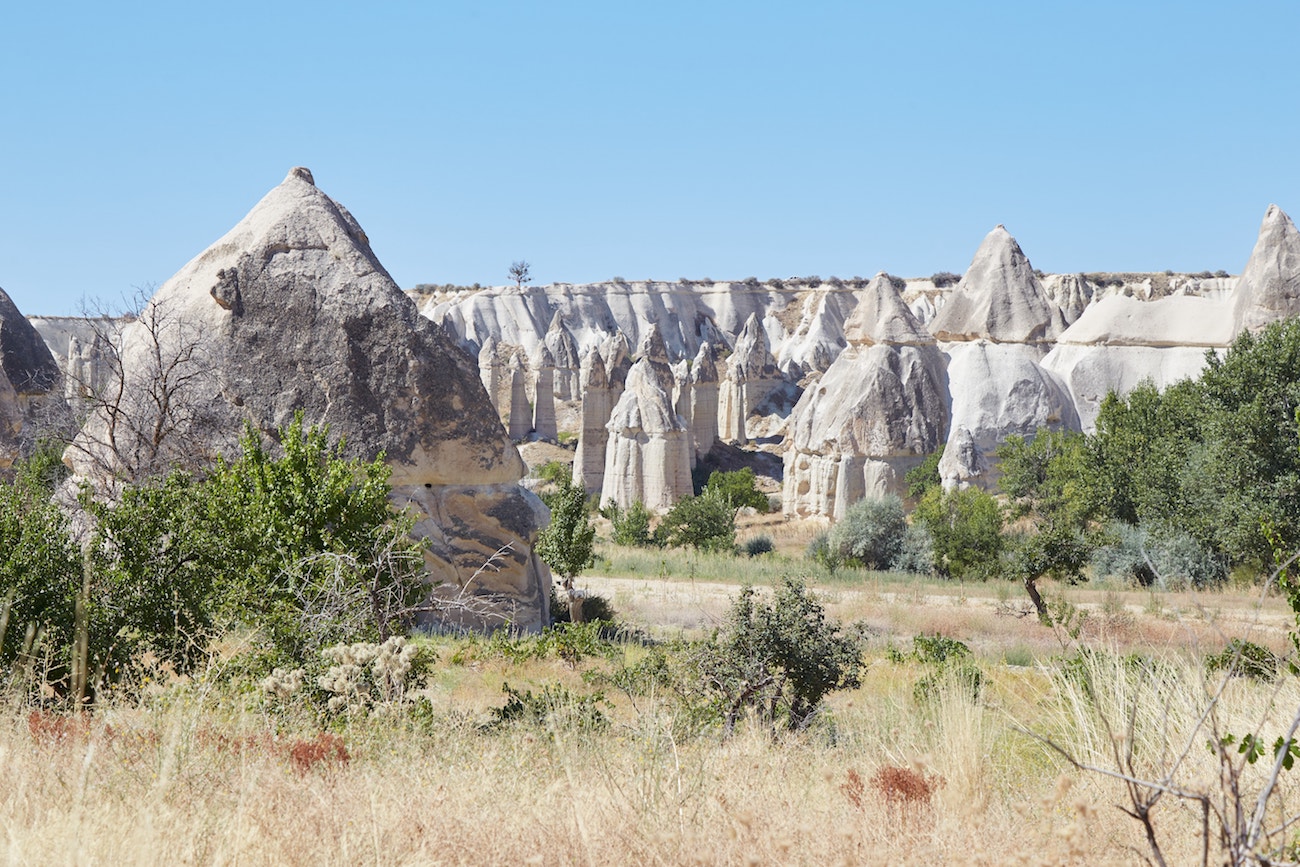
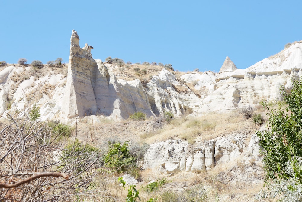
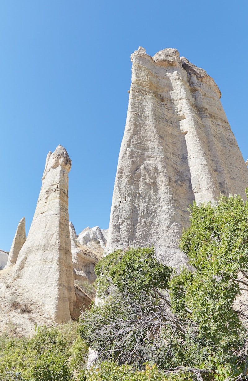
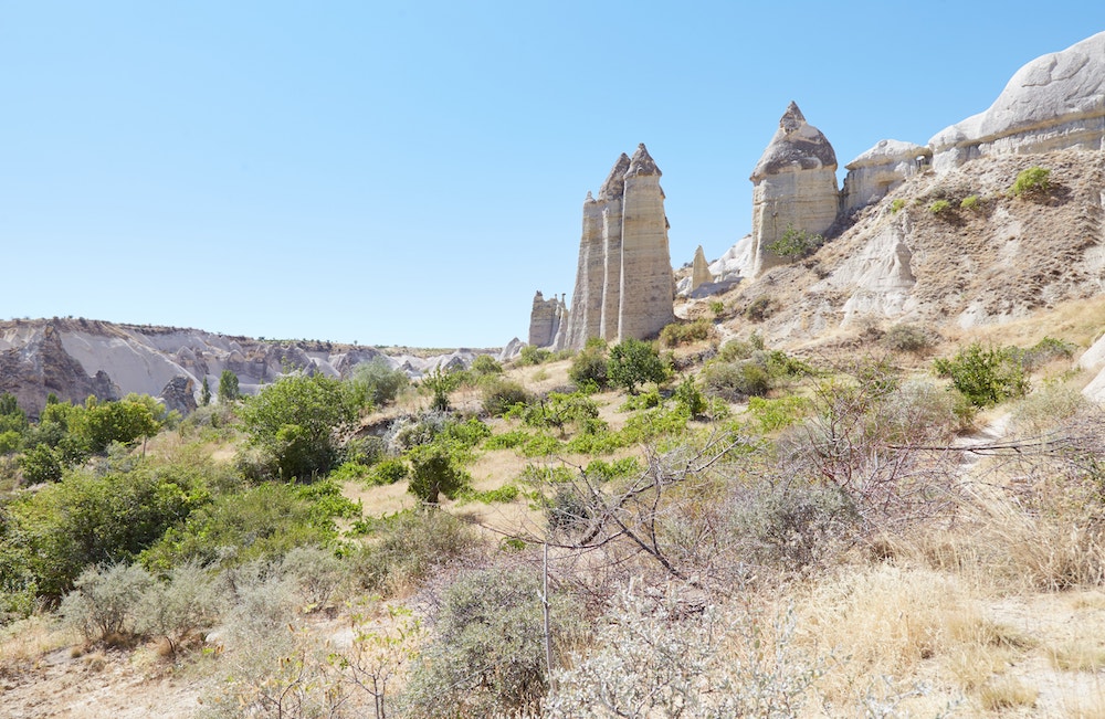
Approaching Love Valley, you’ll be walking on mostly level ground along a path in the middle of a grassy field. And before long, the valley’s iconic rock formations will appear on either side of you.

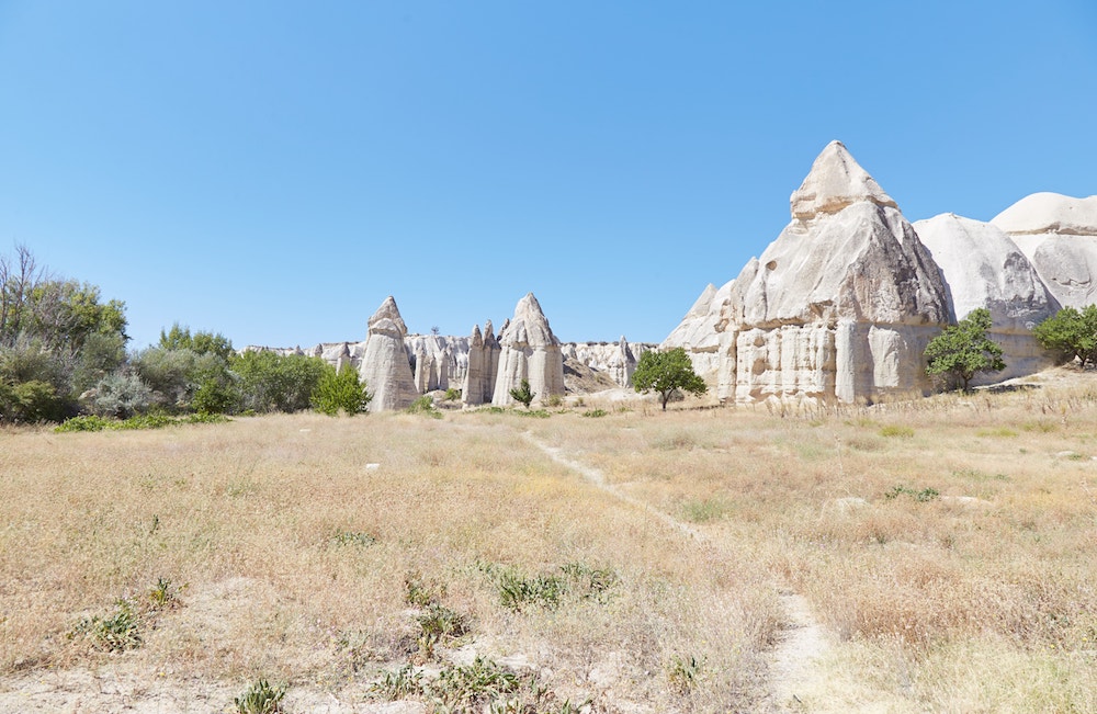
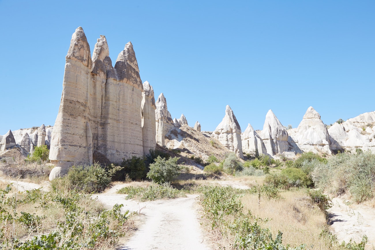
By now, the reasoning behind Love Valley’s name should be obvious!
As you’ll see throughout your travels and hikes around Cappadocia, no two valleys are completely alike.

The pillars of Love Valley are mostly concentrated in a relatively small area. Take your time to walk around them, getting your photography in from different angles.

When finished, make your way back to the main trail and continue heading southwest. Following the trail, you’ll eventually find yourself inside White Valley.
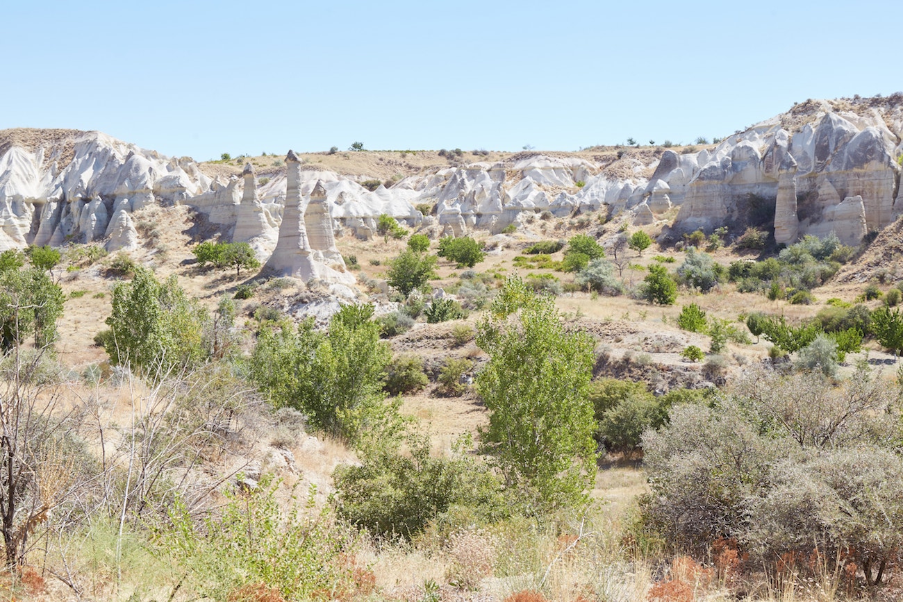
White Valley
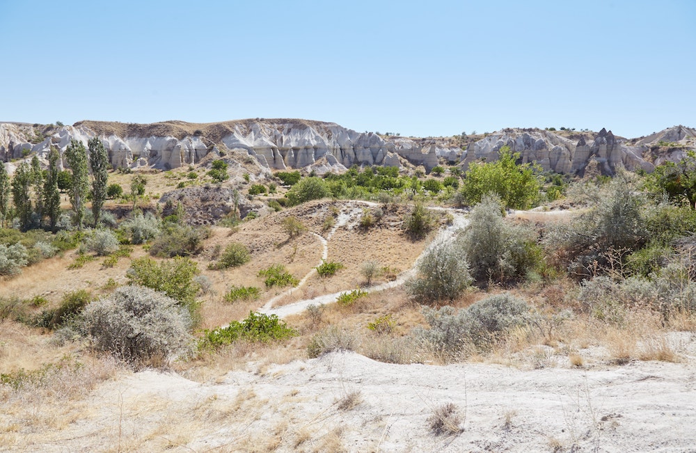
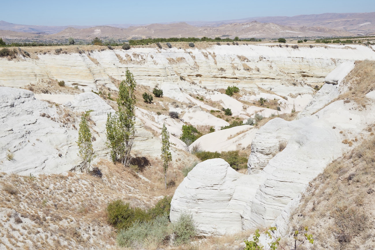
White Valley doesn’t contain any especially unique rock formations, but it’s beautiful nonetheless.
While the valley appears straightforward and unassuming at first, it has a lot of surprises in store. Of this entire day hike, White Valley is the trickiest section. This is also the one area where you’re likely to lose your cellphone signal.
In the beginning, there’s a distinct central trail that you can follow for awhile. It will take you over grassy fields and through various manmade tunnels. But over time, it will gradually twist and turn.
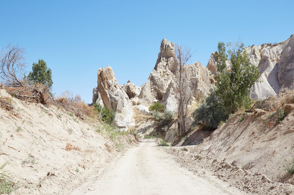

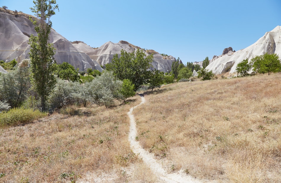

Despite the first part of the trail seeming so easy and inviting, you’ll suddenly encounter areas with thick overgrowth. The first few are manageable, though they appear as if nobody has used them in many months.
On the plus side, the overgrown areas provide ample shade – especially welcome as the sun ascends further up in the sky.


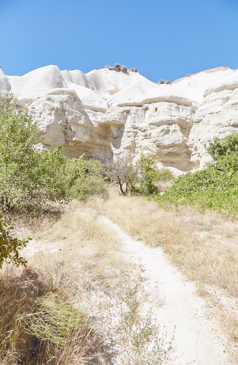
During my hike, I walked through more tunnels before encountering yet another overgrown trail that wasn’t traversable at all. I’d hit a dead-end.
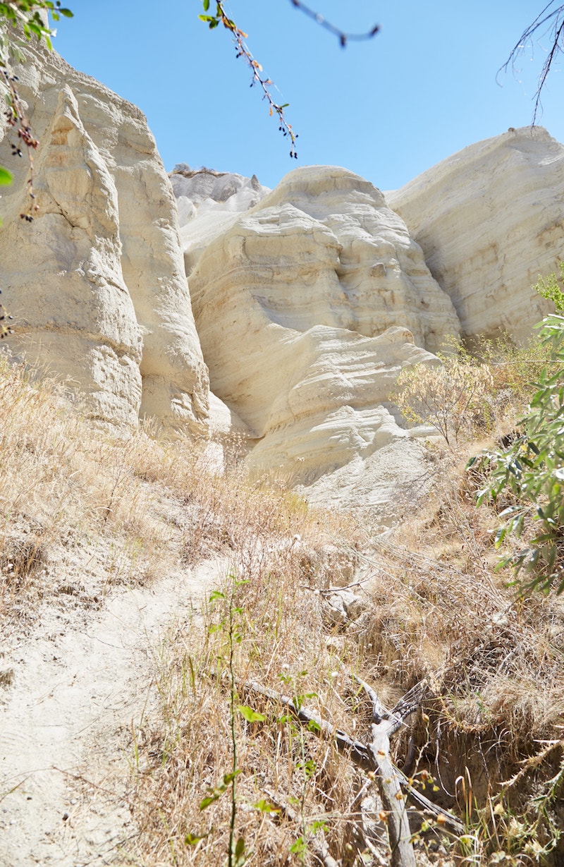

Admittedly, I hadn’t been paying very close attention to the app. But upon checking it again, I saw that as opposed to the central trail in the lowest part of the valley, the highlighted route was along a slightly higher, inner trail.


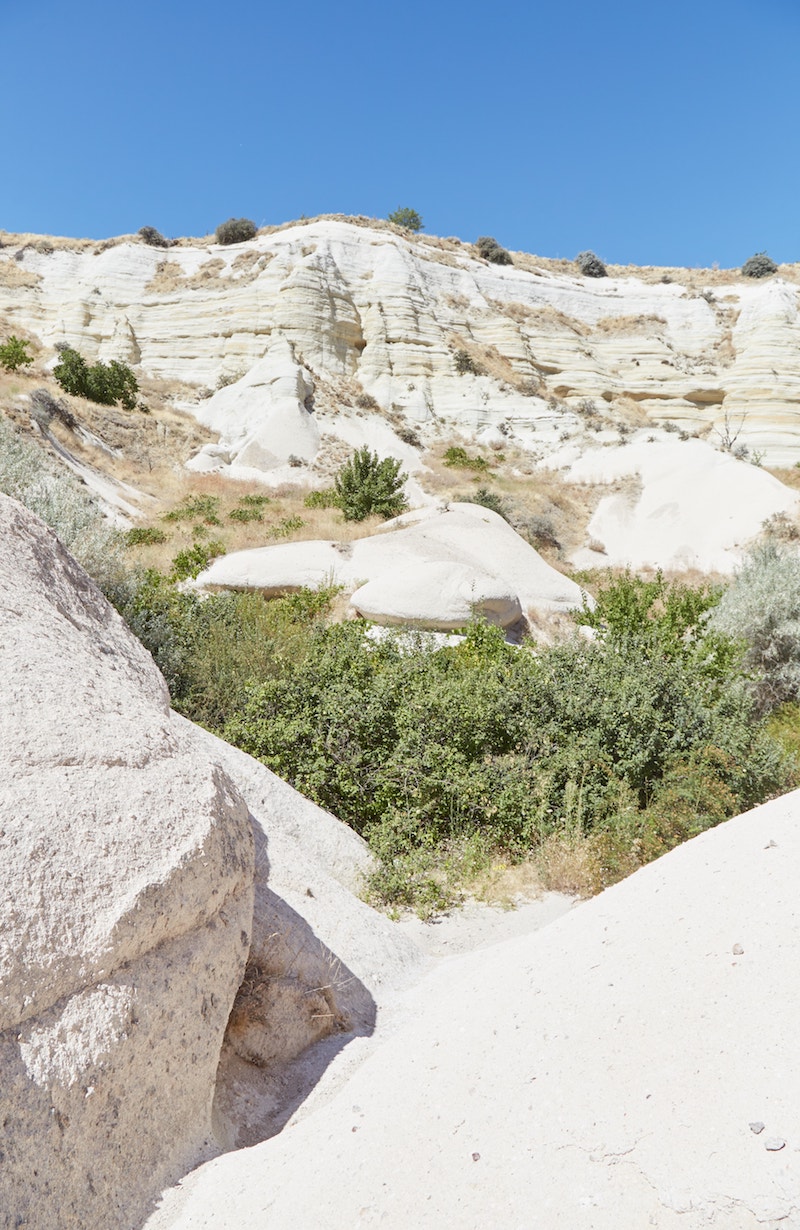

It wasn’t too difficult to remedy the situation by simply climbing up the side of the rocks to find the higher trail.
Ultimately, your goal will be to gradually climb up and out of the valley via the eastern ridge. So keep that in mind if you find yourself stuck.
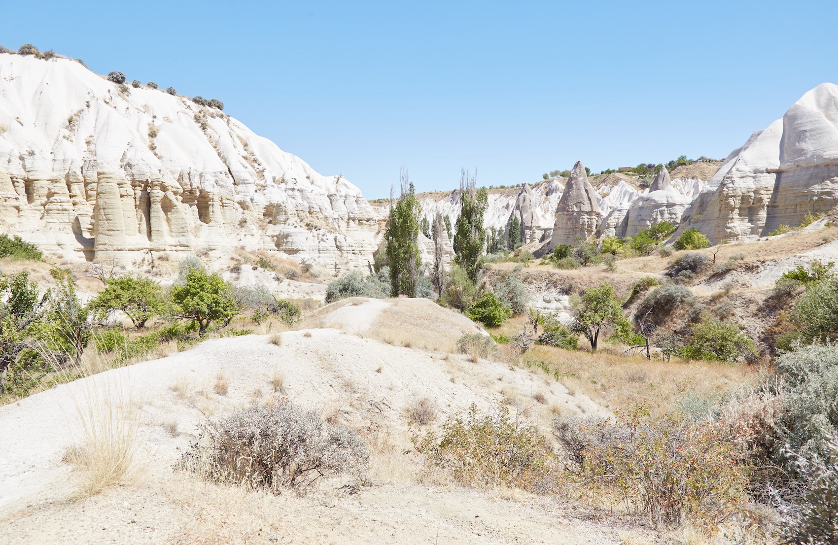
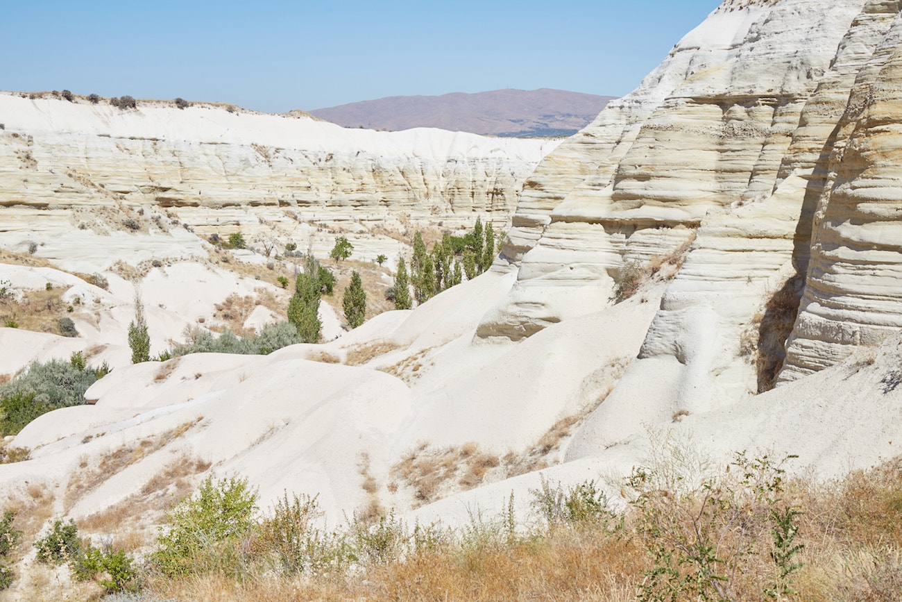
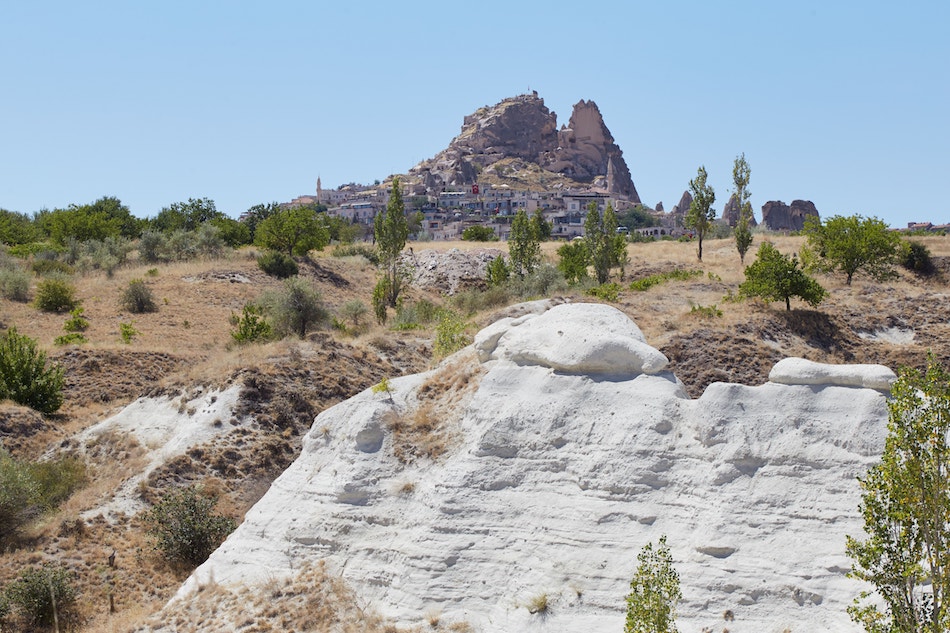
Getting higher and higher, you’ll eventually find yourself atop the ridge, overlooking the entire White Valley below you. And in the other direction, you should see the next destination, Uchisar Castle, far off in the distance.
Uchisar Castle
As you approach the castle, you’ll find yourself reentering civilization, first passing by some restaurants and a busy highway. Simply cross the road and head toward the castle via the town of Uchisar.
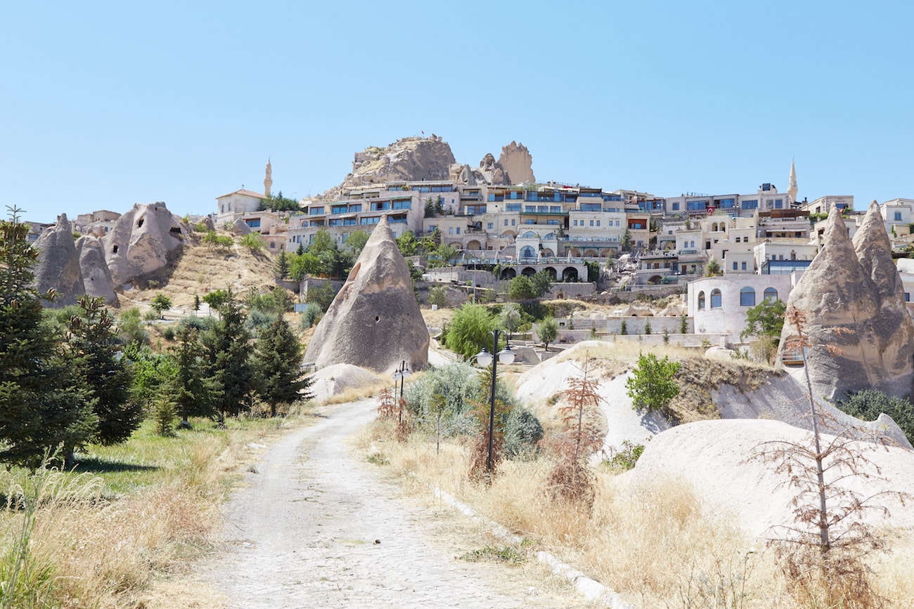
Uchisar is full of luxury hotels and fancy restaurants. But despite being summer, I encountered a deserted ghost town. Most of the establishments on this side of the hill were closed or empty, and it took me some time just to find someone selling water.

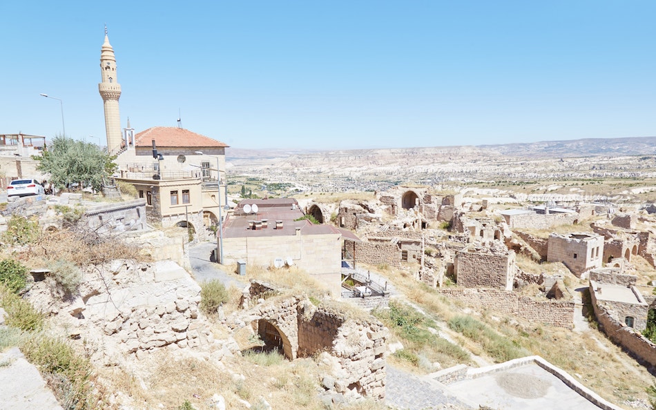
It’s not immediately clear where to go, but you should eventually find some signs pointing you toward the castle. Strangely, in contrast to the luxurious atmosphere of the place, the signs have been hastily made with spray paint.

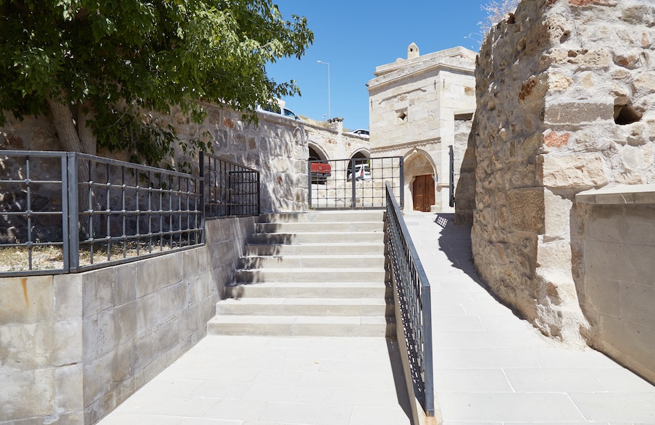
Walking through some backroads, the impressive Uchisar Castle should soon come back into view. Unlike most ancient castles throughout Turkey, it lacks any bricks whatsoever. Rather, the whole thing is a natural 60 meter-high outcrop in which various caverns were dug out.
Arriving at the base of the castle, the official entrance isn’t obvious. I first walked around to the ‘wrong’ side, which, while not leading to the top, features a lot of interesting rooms to explore.

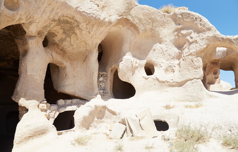
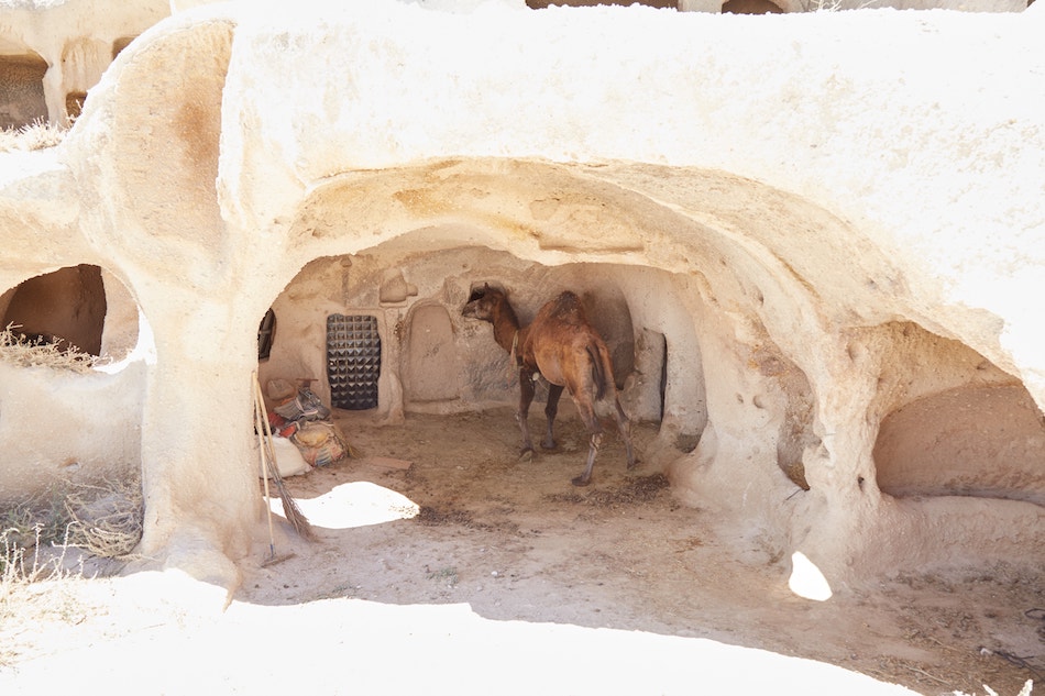
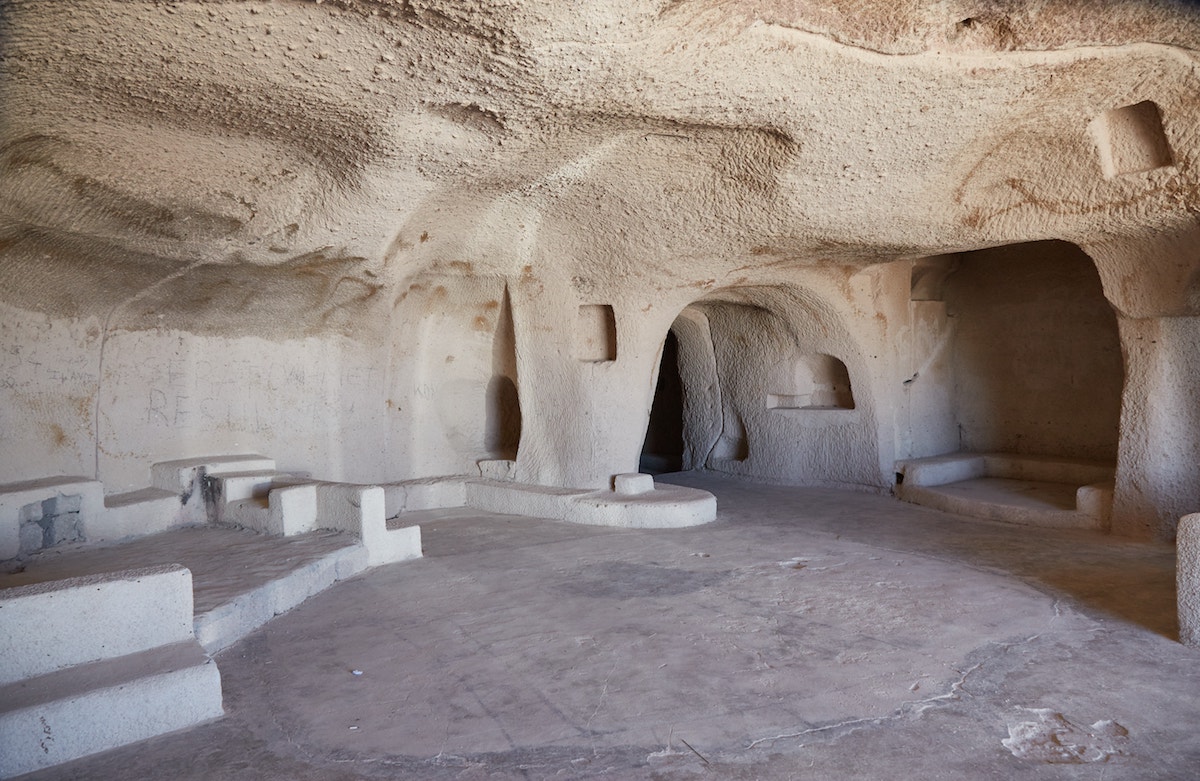
In addition to stables that are still in use, I encountered a huge carved room that appeared to be some kind of church. It’s definitely worth the detour if you’re not in a rush.
Walking around to the other side, I found the official entrance in front of a crowded parking lot. As of 2020, entry to the castle costs 15 TL.
Coming from the largely deserted trails of Love and White Valleys, it felt strange to suddenly encounter such large crowds. While very few attempt hiking Cappadocia, Uchisar Castle is a common stop on group tours.
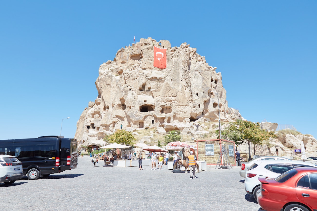

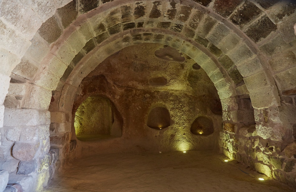
We don’t know much about Uchisar’s history prior to the Byzantine era. But in the Bronze Age, this whole region would’ve been Hittite territory. And they surely would’ve taken an interest in this gigantic outcrop.
In Byzantine times, up to a thousand people likely lived in and around the natural fortress. And on your way to the top, you’ll pass through some of these historic rooms. While many appear rather rough, one impressive chamber features arched vaulting which has survived intact.
Interestingly, the castle was once linked to the bottom of the surrounding valleys via rock-cut tunnels. While inaccessible today, one can easily picture what they would’ve looked like when visiting nearby underground cities like Derinkuyu.


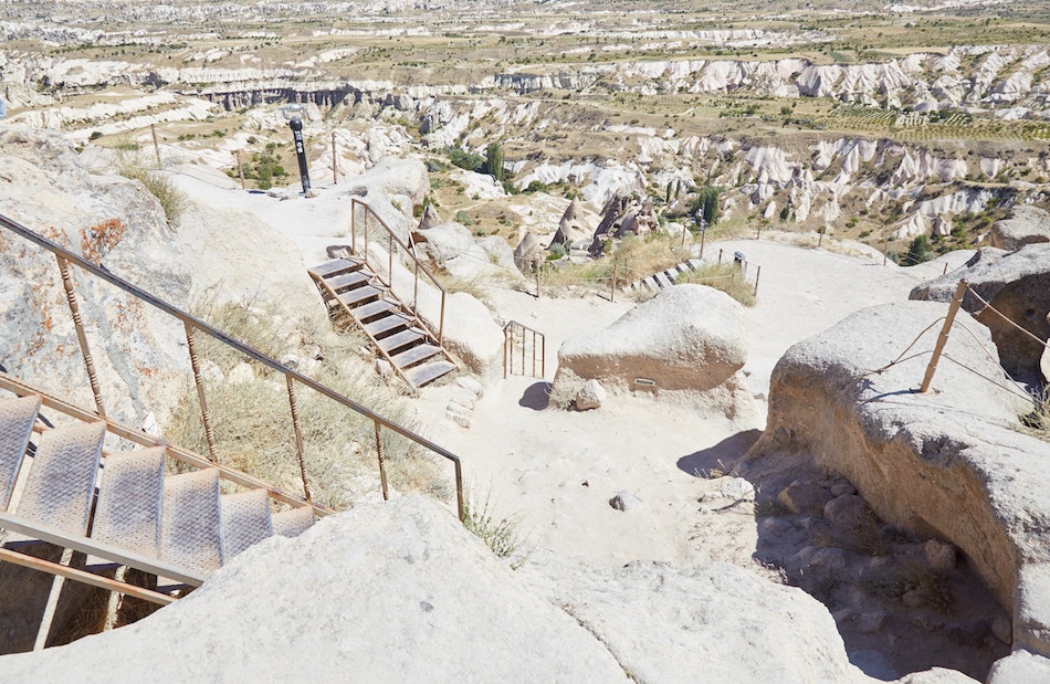
From atop the castle, you can take in the stunning views in all directions. In addition to the modern town of Uchisar, you can also spot many of Cappadocia’s trademark fairy chimneys in addition to the remnants of Byzantine tombs.
Further in the distance, meanwhile, you can make out more curvy rock formations that appear like globs of ice cream.
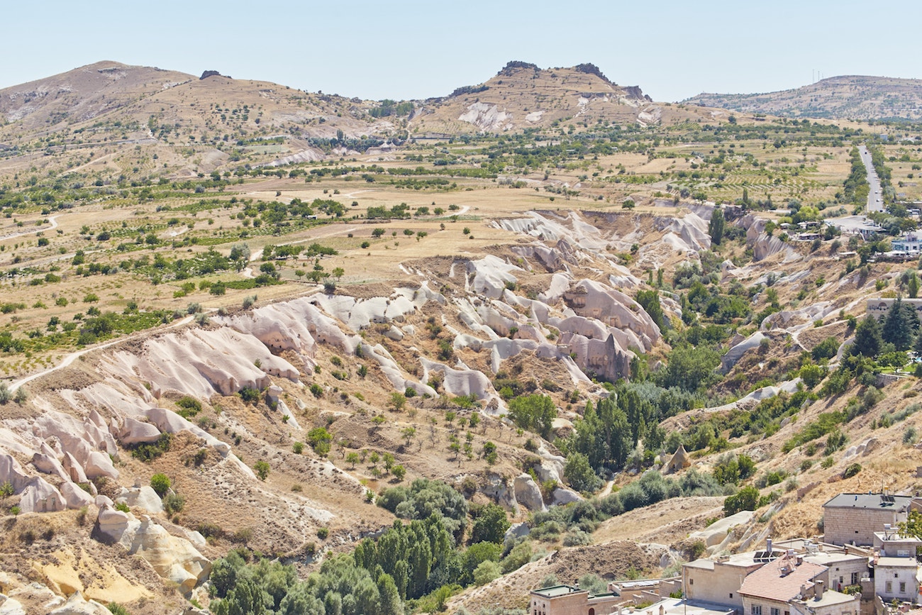
Uchisar Castle is the furthest point on the loop from Göreme, about 5 km to the north. Making your way down from the fortress, be sure to restock on water at one of the shops by the parking lot.
Exiting town, you won’t be going back the way you came, but via another trail to the east.
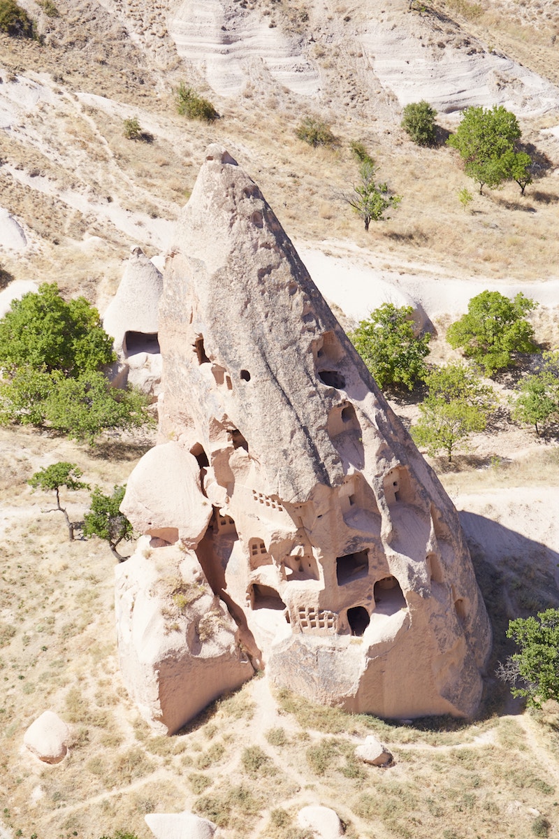
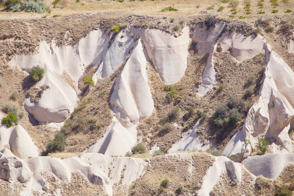
It’s best to refer to the AllTrails app so you won’t get disoriented here. Gradually descending downhill, the cobblestone streets of the town will morph into a dirt trail, taking you further downward.

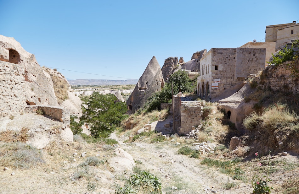

Heading eastward and deeper into the valley below, you’ll pass by some interesting formations on either side of you, some of which are still being used by local farmers.
And then, arriving on flat land, you’ll find yourself in the middle of Pigeon Valley.


Pigeon Valley
Despite the near total lack of signage or trail markers up to this point on the trek, you’ll finally encounter one upon entering Pigeon Valley.
But the sign is pretty much useless. It actually consists of two signs, both labeled ‘Pigeon Valley’ and pointing in opposite directions! (The valley is locally known as Güverçinlik Vadisi.)
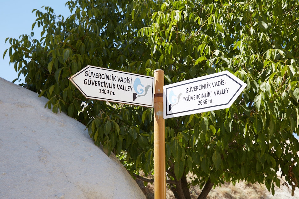
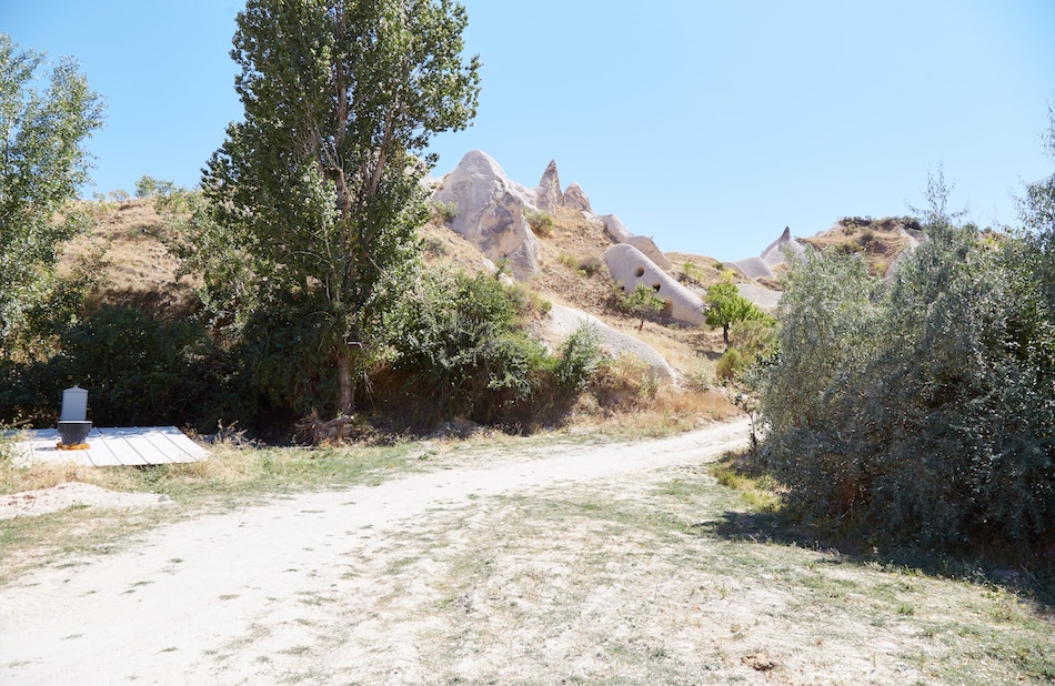
This is probably because the valley extends much further south. But from this point on, you’ll want to head in the northwest direction back toward Göreme.
To make matters more confusing, once you start heading northwest, there are two parallel trails to choose from. I ended up taking the one further east, while the AllTrails app recommends the westernmost one.
While not outlined in the AllTrails loop, I wanted to visit the ‘Pigeon Valley Viewpoint’ (a dead-end) before returning to the loop route. And it’s easier to do this via the easternmost trail.
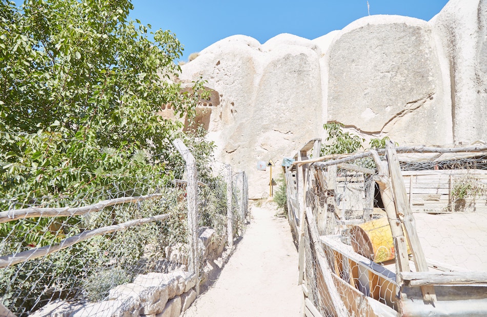
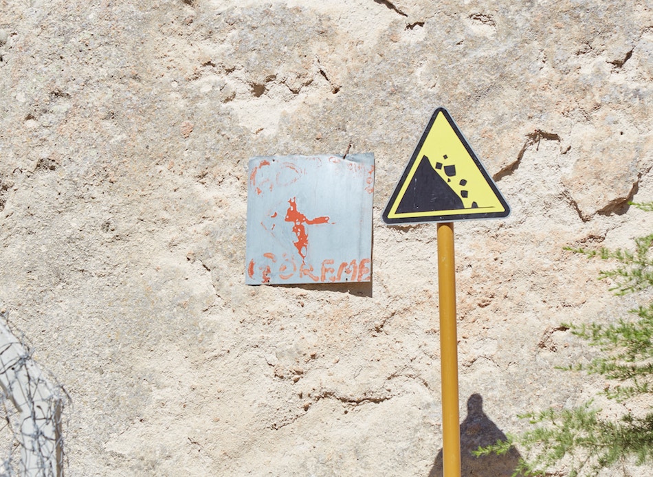
Walking along, you’ll pass through narrow pathways in between local farms. But the occasional makeshift signs are there to point you in the right direction.
The Pigeon Valley takes its name from the multitude of dovecotes, or pigeon houses, carved into the rockfaces. The practice didn’t start merely out of a love for birds, but because pigeon waste comes in handy as fertilizer.
But despite its name, I hardly saw any pigeons during my hike. I did, at least, spot various niches that seemed to have been carved out for them.
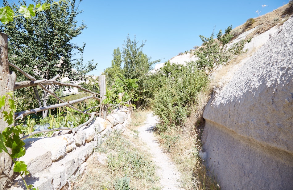
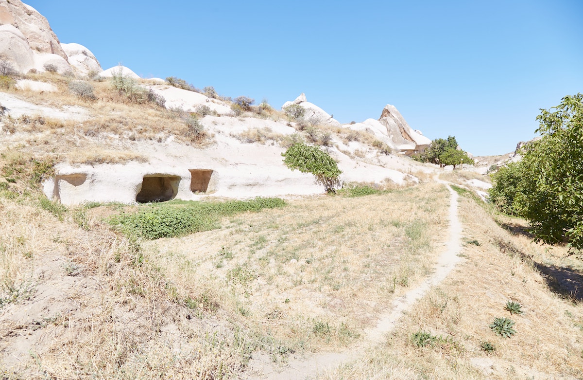

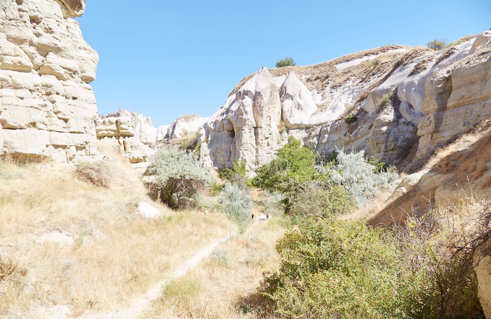
Ignoring the recommended route for a bit, I continued heading straight until I reached the ‘Pigeon Valley Viewpoint.’ It’s marked on both AllTrails and Maps.me. (But don’t confuse it with the ‘Panoramic Viewpoint’ located at the end of the trail near Göreme.)
While it’s a dead-end, the fantastic views are worth the short detour.
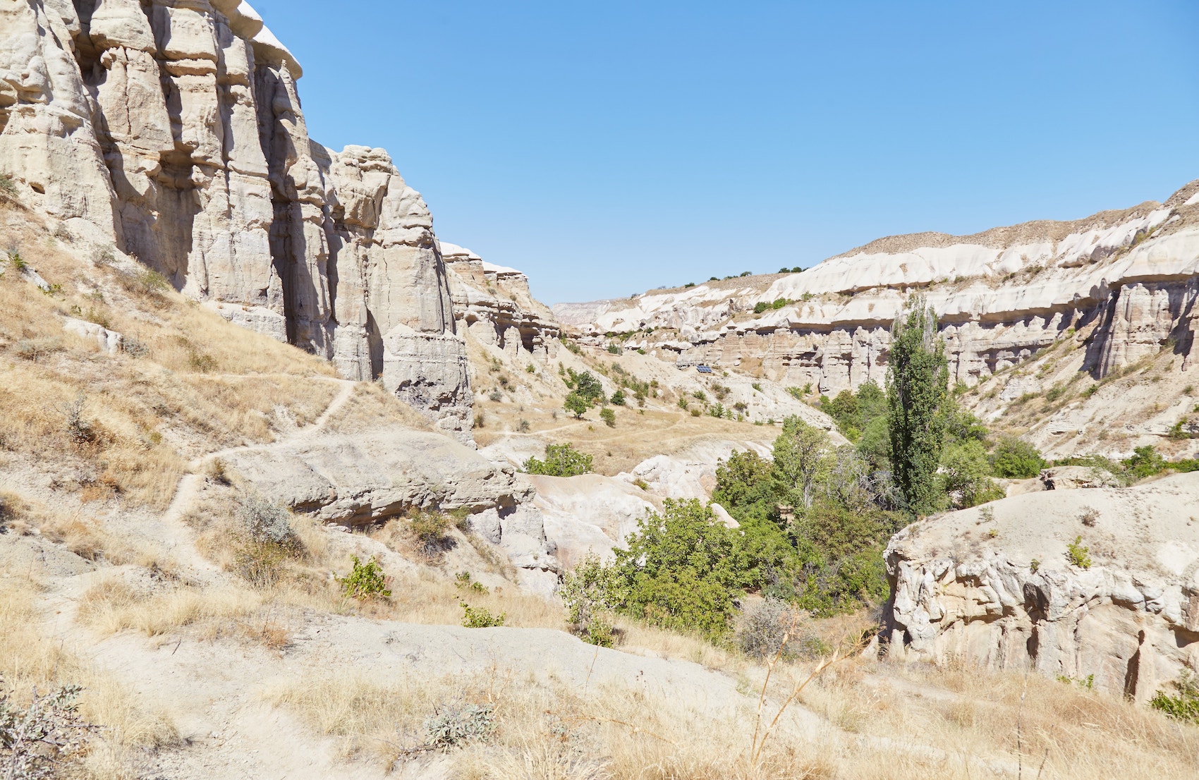
After taking in the views, I backtracked for a bit before following a trail taking me west and uphill.
Arriving at the top of the ridge, you should be able to see Uchisar Castle over in the distance. And from up here you can also get a great overhead view of the area you just came from.

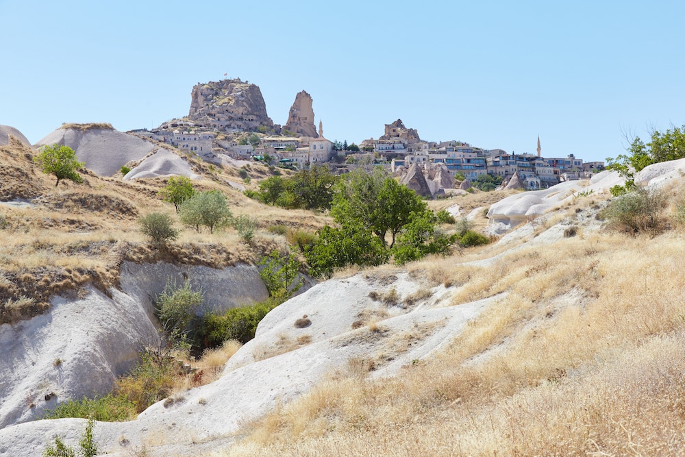
Still at the top of the ridge, the AllTrails route will have you make a sharp left, after which the trail forms a U.
Coming back around, you’ll encounter a tea shop, next to which is a descending staircase. The trail will then take you back down into the valley.
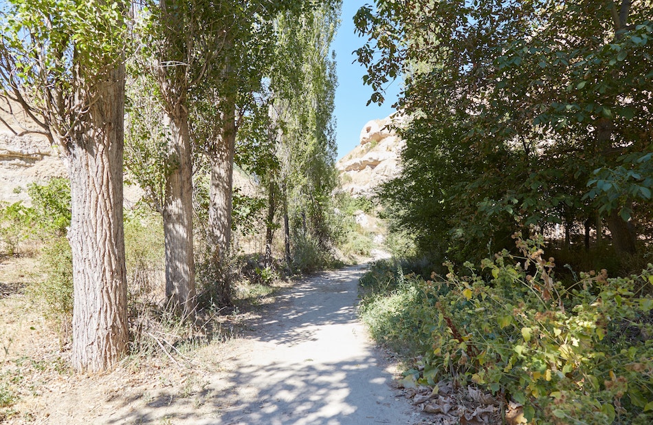
From this point on, the trail is completely flat and straight. After a long day out, you can finally relax and treat the remaining portion of the hike as a carefree stroll.
As with the other valleys, you’re unlikely to encounter many other hikers around here.
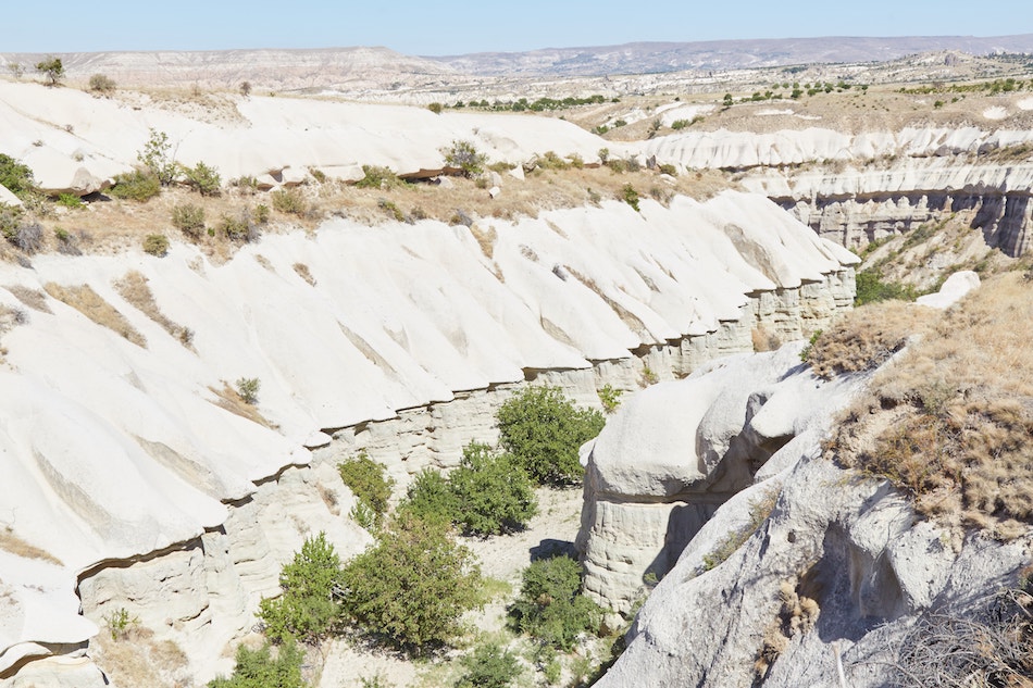
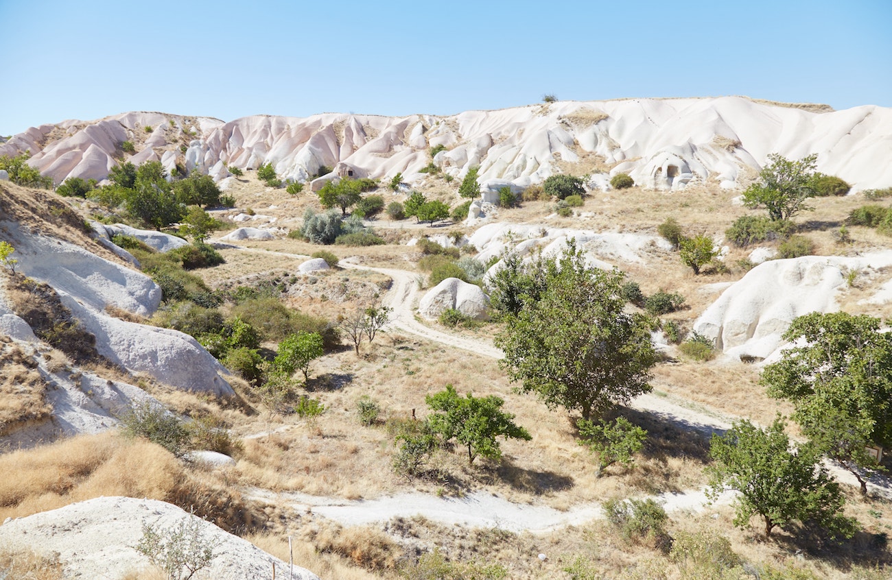
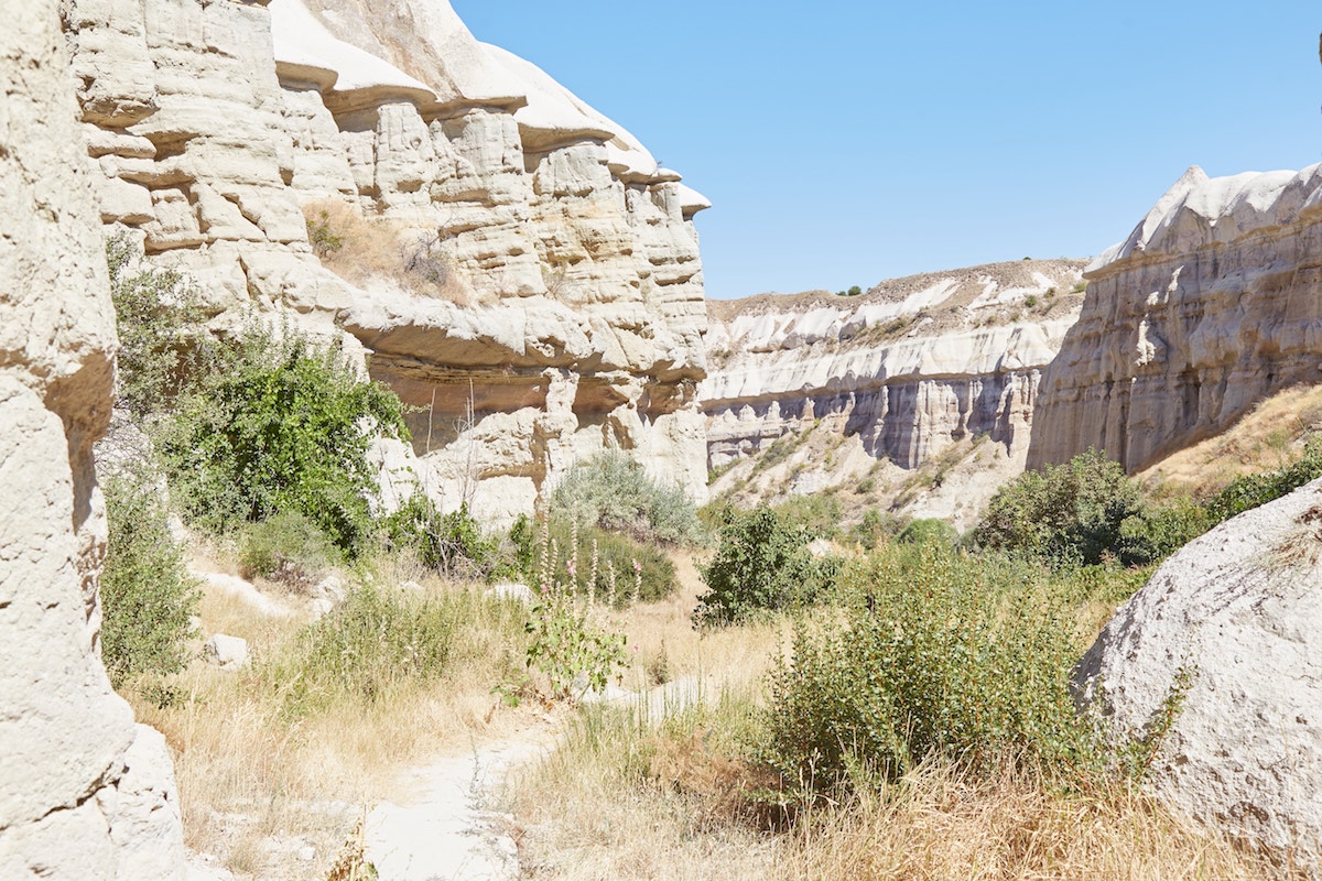
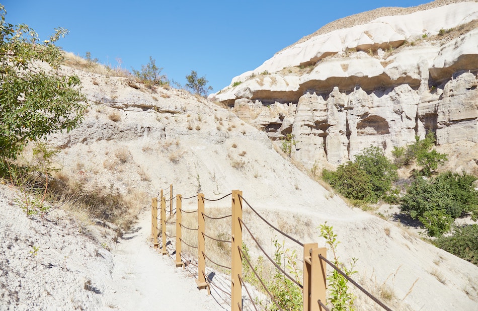

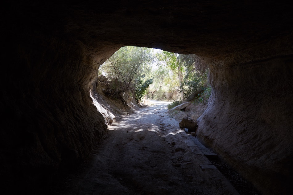
Shortly before the end of the trail, you’ll walk through a relatively long and deep tunnel.
Out the other end, it won’t be long before you reach a small parking lot with signs marking the beginning (or in our case, end) of the Pigeon Valley trail. And over in the distance is the southern part of Göreme.
But if you’re still feeling energetic and adventurous, you can go and see another viewpoint before returning to town.
This is referred to as the ‘Pigeon Valley Panoramic Viewpoint,’ not to be confused with the one mentioned earlier.
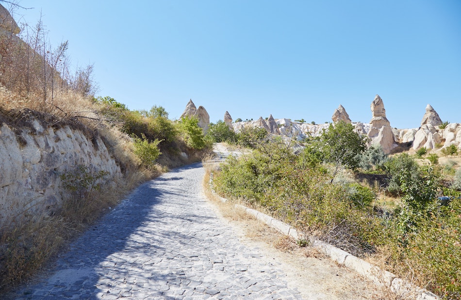
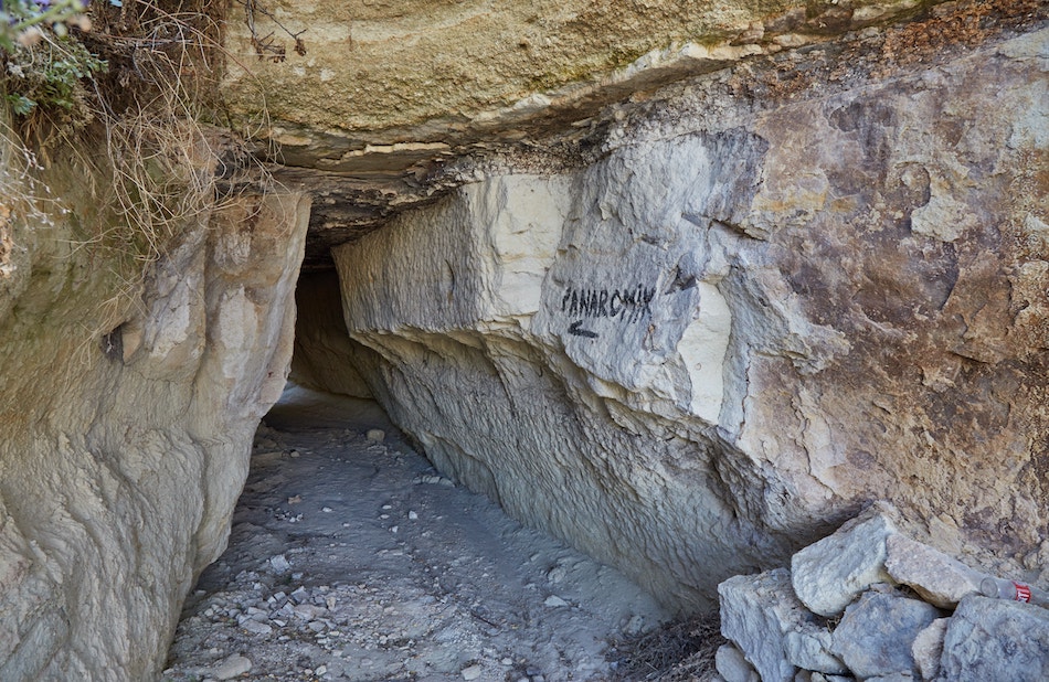
Walking down a cobblestone path, through a tunnel, and then down some narrow backroads, you should eventually find yourself in a large grassy field. And the beautiful area is filled with magnificent fairy chimneys.
The viewpoint is actually meant to be seen from above, but it still looks great from below. I was considering looking for a way to climb up, but the thought of a meal and a shower was too tempting, and I decided to head back to town.
If on another day you join what’s called the ‘Green Tour,’ Cappadocia’s most popular group tour route, you’ll end up stopping here at some point. But there’s nothing quite like having it all to yourself.
Additional Info
Cappadocia refers to a vast region that overlaps a few different Turkish provinces. And the region contains a number of cities and towns.
Cappadocia’s main towns are Göreme, Avanos, Ürgüp and Uçhisar – all of which are situated amongst stunning natural landscapes. And they all provide ample amenities for tourists, like hotels, restaurants and tour agencies.
The two proper cities of the region are Kayseri and Nevşehir, but they’re lacking in scenery and there’s no good reason to stay there.
Having stayed in Göreme during my first visit several years ago, I was considering changing things up by trying a different town. But upon further research, I realized that Göreme is by far the most conveniently located, hence its popularity.
As my main goal was to hike, I found that many of the region’s most well-known valleys, castles and other landmarks are within walking distance from Göreme. While there are indeed other highlights in Cappadocia that require a vehicle, you’ll have to rely on them much less if you stay in Göreme.
Göreme is probably one of the most touristy parts of Turkey. And with that comes both negatives and positives, among which is the large selection of hotels.
You’ll find something for all budgets here – from backpacker dorm rooms to luxury suites.
Many of the hotels advertise themselves as ‘cave houses,’ meaning they’ve been carved out of the natural limestone rock. This not only makes for a special and cozy atmosphere, but the rooms keep surprisingly cool in summer.
During my first visit to Cappadocia, I stayed in a proper cave house which is apparently no longer in business. On a smaller budget my second time around, I opted for the Mevlana Hotel. While not carved into the rock, the hotel is nonetheless made of stone.
The room was a basic private room with a private bathroom, and it also included breakfast. At the time of my visit, the price was reduced due to the coronavirus pandemic.
I was happy with what I got for the price that I paid. The room was fine, but I wouldn’t consider it a great value had I paid the standard rate. Then again, Göreme is a bit pricier overall than most places in the country.
The nearest big cities to Göreme are Kayseri and Nevşehir. Both of these cities have airports, and from either one you can easily take a shuttle bus to Göreme.
Despite being just a town, Göreme has direct bus connections with many major cities throughout Turkey.
For example, I was able to get a direct coach bus to Göreme all the way from Gaziantep with the Süha bus company. I was actually somewhat surprised that there was no transfer in Kayseri, with the same bus taking me all the way.
It’s not unheard of to need to transfer in Kayseri or Nevşehir, though, so it’s best to confirm this when buying your ticket (if they speak any English!).
Conveniently, the Göreme Otogar (bus terminal) is located in the very center of town. It shouldn’t be more than several minutes on foot from wherever your hotel is.
Leaving Cappadocia, I easily caught a direct bus to Konya, and the same bus would be continuing onward to Antalya. You should also find direct buses between Göreme and Istanbul, Ankara and other cities.
While the Turkish government isn’t quite as extreme as China when it comes to online censorship, you’ll probably want a decent VPN before your visit.
I’ve tried out a couple of different companies and have found ExpressVPN to be the most reliable.
Booking.com is currently banned in the country (at least when you search for domestic accommodation). However, there are actually quite a few Turkish hotels listed on there anyway. And many them don’t even appear on Hotels.com, which hasn’t been banned.
Over the course of my trip, I ended up making quite a few reservations with Booking.com and was really glad I had a VPN to do so.
Another major site that’s banned is PayPal. If you want to access your account at all during your travels, a VPN is a must.
While those are the only two major sites that I noticed were banned during my trip, Turkey has even gone as far as banning Wikipedia and Twitter in the past.
