Last Updated on: 5th August 2024, 01:13 pm
For nature lovers and adventurers visiting Montenegro, hiking to Bobotov Kuk, the country’s highest peak, is one of the most unforgettable experiences you can have. But the hike to the peak, located in Durmitor National Park, can be a lot more challenging and unpredictable than many anticipate.
While most people opt for the shorter route from a place called Sedlo, the following guide details the long journey from Žabljak, the main town within the park.
This was my first hike in which I ultimately failed to reach my final destination, though I did end up atop the park’s second-highest peak just nearby. Not only is the Žabljak route terribly long, but the trail disappears partway through the trek. This can cause hikers much confusion and wasted time.
With little information on this route elsewhere online, you’ll hopefully find the following guide useful if you’re interested in hiking to Bobotov Kuk the hard way.
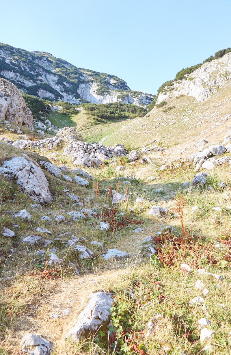
About this Hike
There are two main ways to hike up to Bobotov Kuk: via Sedlo, from which the hike takes around 3 hours, and via Žabljak, where the one-way journey takes around 6 hours.
Some people also return to Sedlo (if they have their own car) while others start in Sedlo and then hike down to Žabljak.
Very few people actually attempt the long route roundtrip, and I’d soon learn why. In addition to its length, it’s a difficult, confusing and potentially dangerous hike.
Before my hike, I couldn’t find a single blog post online about the process of hiking to Bobotov Kuk from Žabljak. And I’m still unable to find one. As far as I can tell, what follows is the only article online detailing the long route.
Getting to Sedlo requires a taxi which can cost €20-30 one-way. That’s why I opted for the longer journey. But looking back, I probably should’ve just paid!
But if you’re still intent on hiking to Bobotov Kuk the hard way, the following article will help you save you time, confusion and also help you avoid some potentially dangerous situations. With all that being said, attempt this hike at your own risk.
SAFETY TIPS: Aside from the tremendous length of the hike between Žabljak and Bobotov Kuk, there are several major issues you need to be aware of in advance. The initial sections of the trail are well-marked, but you will need to head off-trail at some point and then walk uphill over rocky and slippery terrain.
With that in mind, you absolutely don’t want to try this route on a rainy day or just after heavy rain.
I did this hike alone, which was a bad idea. I ended up in some dangerous situations and had I gotten injured, I could’ve ended up stranded.
I recommend going with a guide, or at the very least, with a small group.
On the other hand, if you’re hiking from Sedlo, the trail is said to be marked the entire way and you should be fine. But, as mentioned, there are plenty of other online sources for that route.
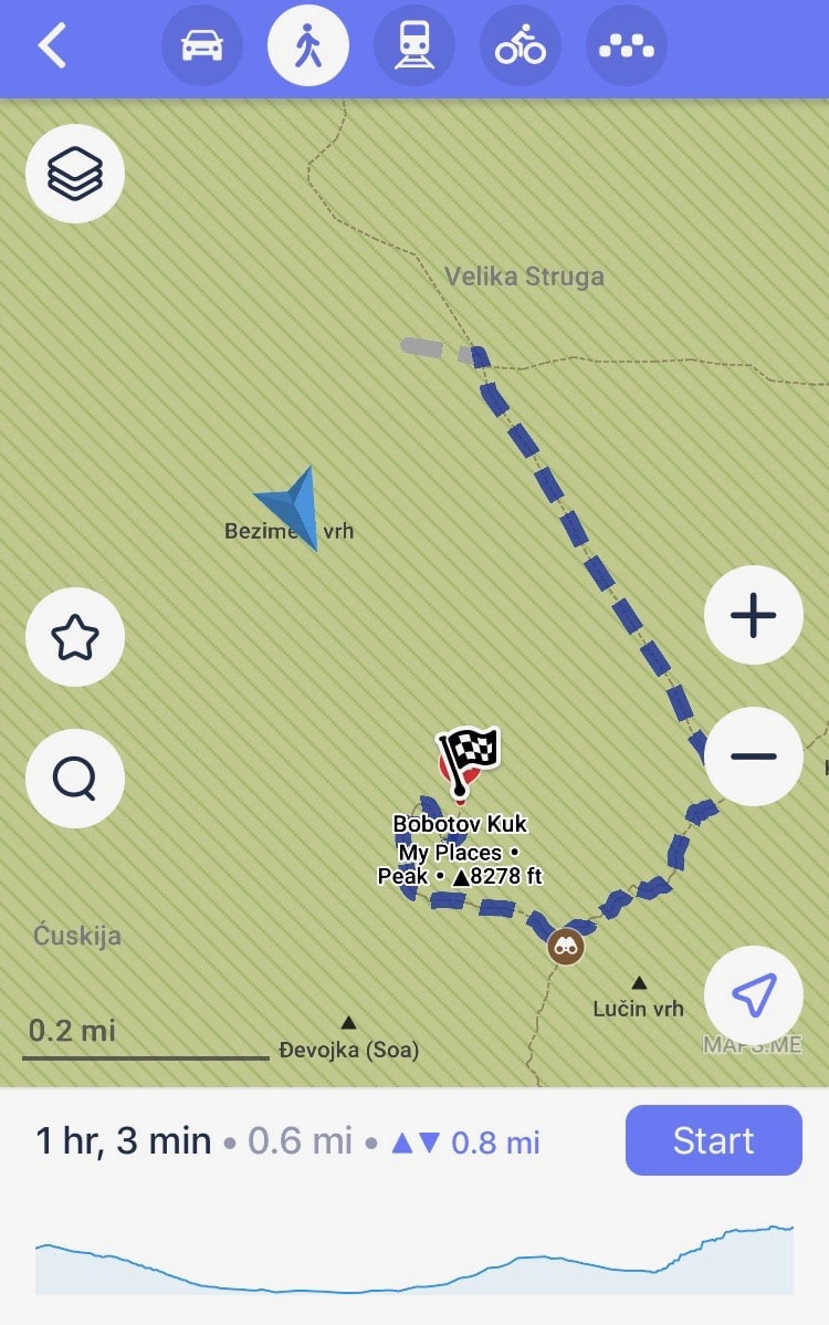
RECOMMENDED APPS: I typically find the Maps.me app to be incredibly helpful when trekking around the world. Not only are its trails usually very accurate, but so are its estimated walking times.
But in the case of hiking to Bobotov Kuk from Žabljak, the time given (about 4 hours) is way off. It should take at least 6 one-way.
Furthermore, as you’ll see in detail below, some of the ‘trails’ marked on the app don’t really exist.
At the time of writing, hiking apps like AllTrails do not seem to feature a map for hiking to Bobotov Kuk via the Žabljak route, so Maps.me is still your only option.
WHAT TO BRING: Bring your very best gear for this hike. Good hiking shoes are a must, and so are trekking poles.
You might also want to bring something to protect your stuff from potential rain.
Bring enough snacks to last you the entire day, as well as water. There are no springs on this long hike, so taking at least a few liters with you is a must!
The Forested Section
Wanting to allow myself as much time as possible for what I knew would be a long journey, I got an early 6:00 start. My guest house was called Rooms Apartment Durmitor, situated within 10 or 15 minutes from the Black Lake. And it’s from this general area that the hiking trail begins.
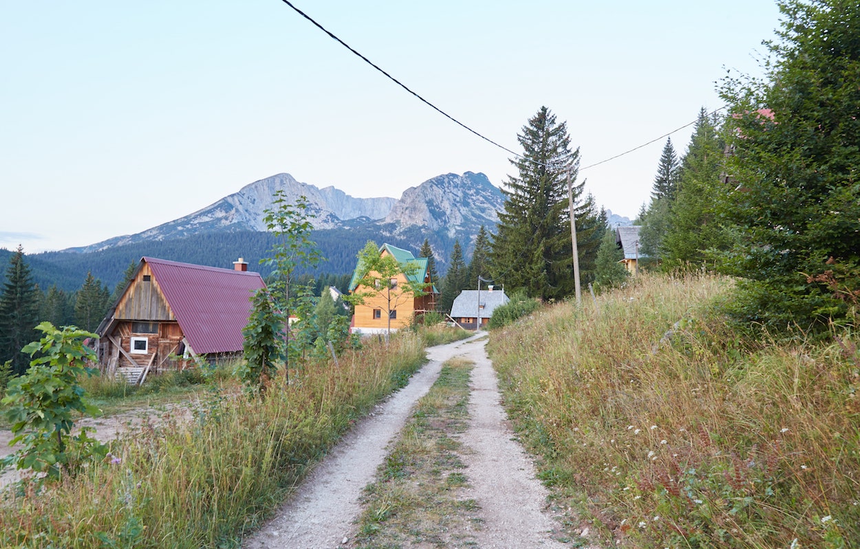
Having already visited the Black Lake the previous day, I skipped it entirely. I followed the east-west trail which runs north of it straight west. Soon, I found myself within a dense forest, which takes around an hour to get through.
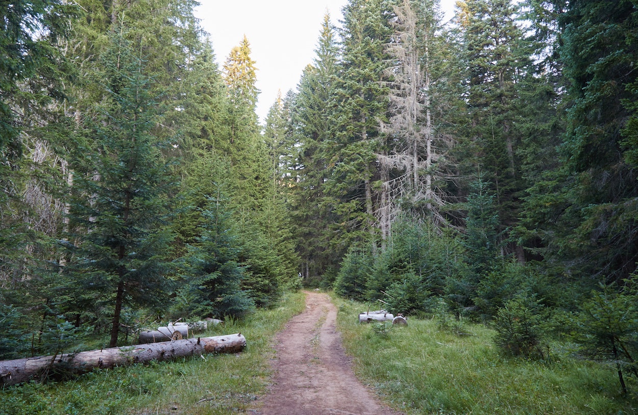
Until the final section, the forest trail is largely flat. And as tranquil as it is, it gets rather monotonous after a while – especially on the return trip!
While this part of the hike is mostly straightforward, there’s a confusing section where the trail forks in two. But by following the signs and trail markers, you should be able to figure it out.
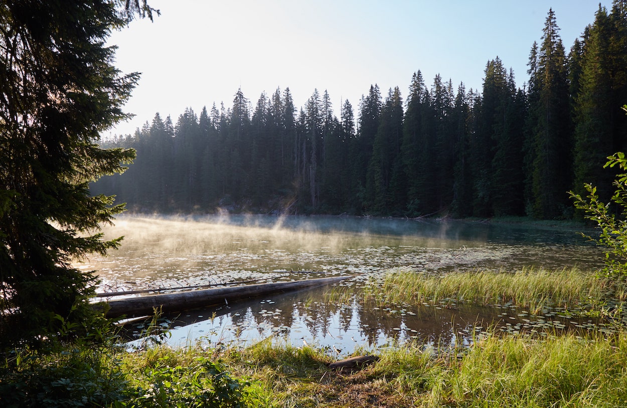
To break up the monotony, you can stop at the small Zminje Jezero lake for a bit, which only requires a several-minute detour.
Back on the main trail, you’ll eventually reach the first uphill portion of the hike. The terrain is also quite rocky. But given how cold it can get in the early mornings, the climb is a good way to warm up your body.
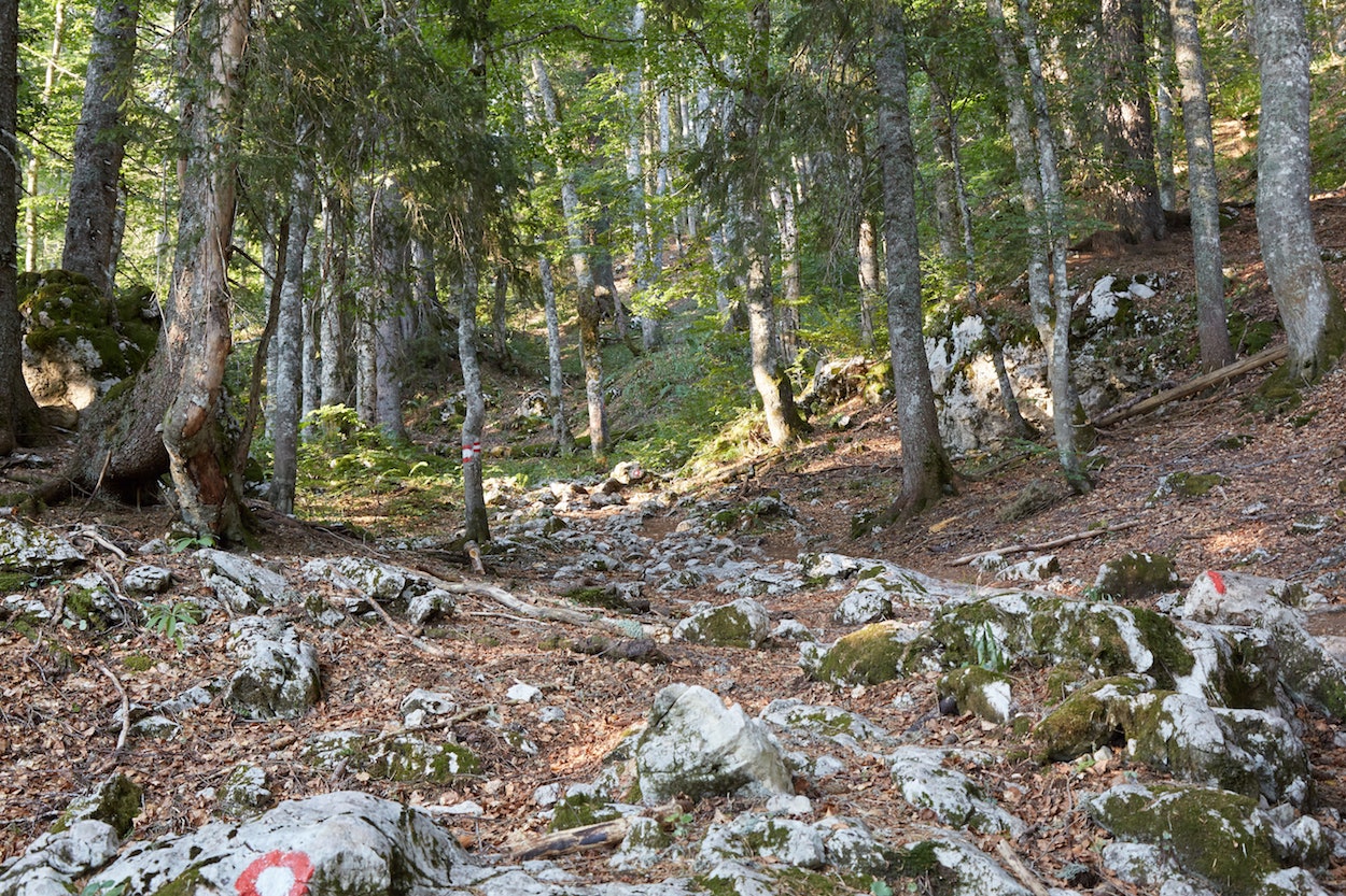
Eventually, you’ll reach the outer perimeter of the forest, finding yourself in front of a large grassy meadow.
As I exited the forest, I saw a large group of hikers that had started around the same time as me. While we exchanged greetings, we wouldn’t have an actual conversation until much later in the hike.
Seeing as how they were a group led by a guide, I assumed they were hiking to Bobotov Kuk and knew how to get there. But as I’d later learn, they knew no more about the hike than I did!

The Middle Section
Finally leaving the forest, you’ll get to appreciate the beautiful scenery of Durmitor National Park in all its glory. You’ll immediately see a mountain peak, but no, this is not yet Bobotov Kuk.
What follows is a fairly steep uphill trek in a zigzag fashion. The trail here is distinct and markings are abundant, so there’s little doubt about where you’re supposed to go. At least not yet.

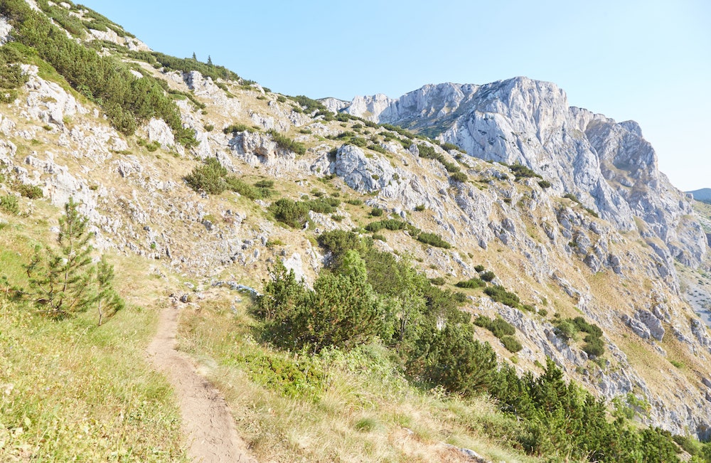
Once you reach the top of the hill, there’s a slightly tricky part. Looking at the trail, it may appear as if you’re supposed to turn right (north). But be sure to continue heading west. Before long, you should find yourself entering a large valley.
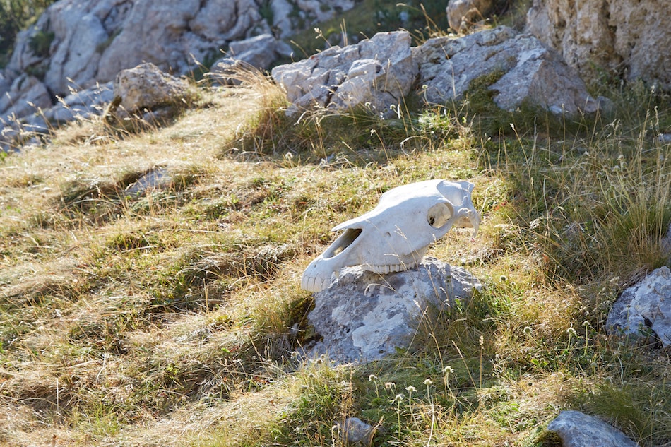
It was at this point that I sat down to open up some of the snacks I’d brought for the hike, purchased in Žabljak the day before. Not far away from me, someone had placed a horse skull neatly on the rocks – an inauspicious sign of what was to come.
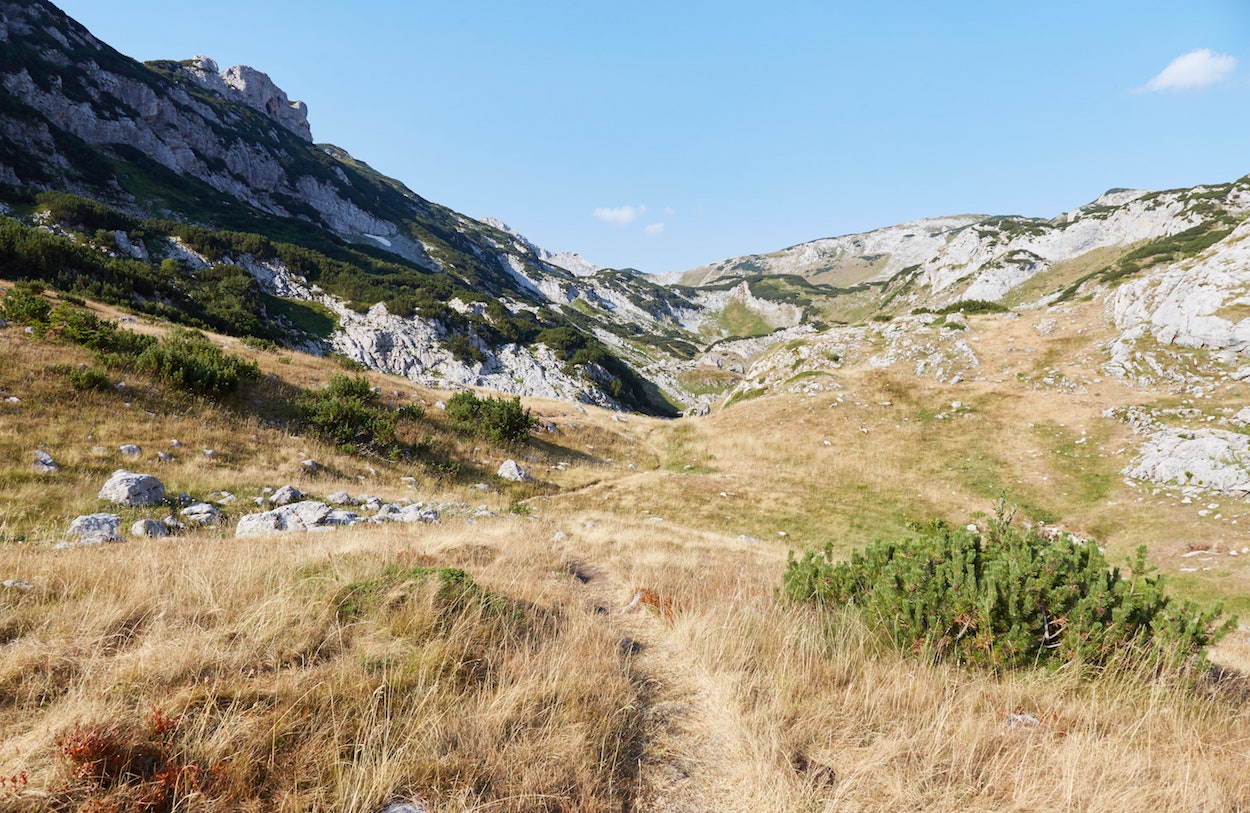
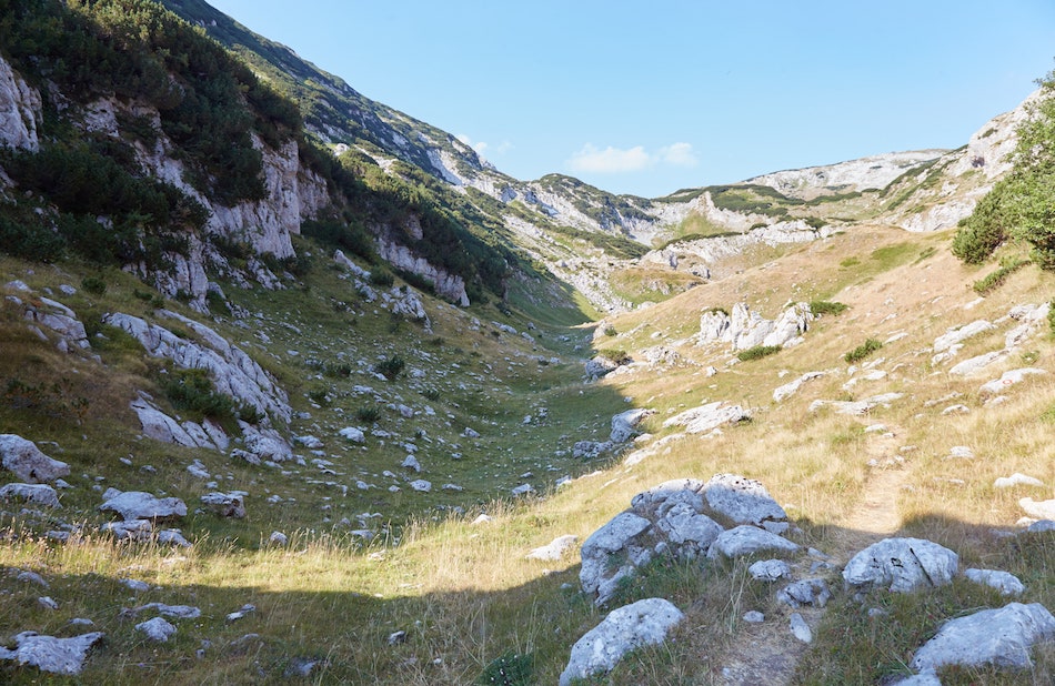
The trail from here is pretty straightforward, albeit with a lot more uphill zigzagging portions. There were still plenty of trail markers around here while I also was precisely on the route marked by Maps.me. Furthermore, the guided group was still in view up ahead.
While I did find it a bit odd that none of the signs up to this point in the hike had the words ‘Bobotov Kuk’ written on them, I wasn’t very worried.
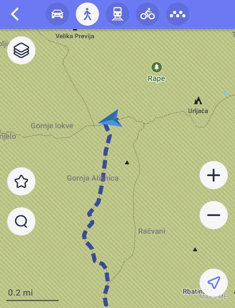
This part of Durmitor National Park is known as Ališnica, and I was getting ready to soon make a sharp left (south) as indicated by the Maps.me route.
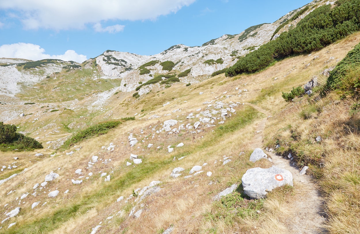
Reaching this point on the app, however, there was no sign of any trail heading south. Though I looked around carefully, there were absolutely no trails or trail markers in that direction at all.
While I found it odd, there are actually two parallel southbound trails marked on the app, and I was sure I’d find something at the second one. But several minutes later, I passed that point, too, and nope – nothing there either.

I was growing a bit concerned. But what else could I do but continue west, following the well-marked trail I was already on? And besides, the group of hikers I’d encountered earlier was also continuing in that direction.
Bobotov Kuk is one of Durmitor National Park’s most well-known landmarks, and surely one of the marked trails would lead me there, I figured. But this turned out to be false.
As I’ll go over below, to head toward Bobotov Kuk, you must indeed head south as the Maps.me app indicates. But misleadingly, no actual trails exist, so you pretty much have to walk off-trail over rugged terrain (see further below for more details).
To the Škrčka Lake Viewpoint (Wrong Direction)
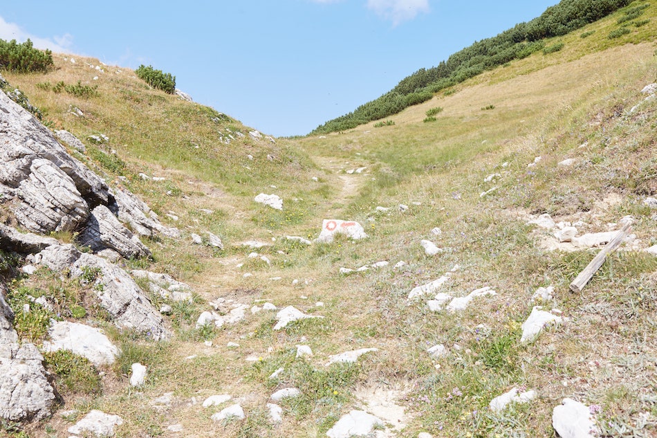
*The following section is about an accidental detour from the correct route to Bobotov Kuk, and is not something you should attempt if your goal is to make it to the peak. As mentioned above, and as detailed further below, you’re supposed to leave the marked trail and head south through ‘Gornja Ališnica’ instead.*
I continued heading west, and even further uphill, not exactly sure of where I was going. This was a rather tiring portion of the hike, and I’d already been hiking for three or four hours by this point. Shouldn’t I be close to the peak by now? I wondered.
Not knowing what to do, my short-term goal was to follow the marked trail and see where it would lead me.

But even the trail markers became confusing at this point, and I ran into a couple of dead ends. I was at least rewarded for my effort with some breathtaking scenery.

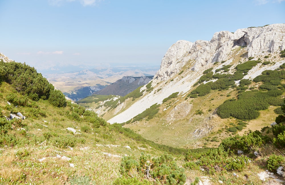
To follow the marked trail, one has to walk uphill and through a series of very thick bushes. The overgrowth is so thick, in fact, that it’s hard to believe it’s part of the proper trail.
But it was. Not the trail to Bobotov Kuk, however, but to a beautiful viewpoint of Škrčka Lake.
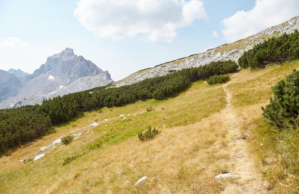

By this point, I’d caught up with the group I’d encountered a few times earlier. And I got talking with them for the first time, learning that they were indeed attempting to hike to Bobotov Kuk as well. But they were just as confused as I was!
Though they were being led by a guide, he wasn’t a local, as they were on a much larger Balkans tour. As such, they were relying on the same confusing Maps.me trail that I’d been following.
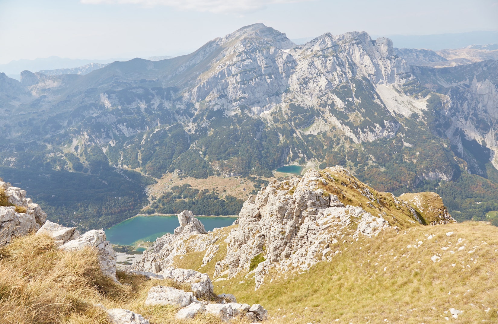
Škrčka Lake is one of Durmitor’s most popular lakes, and the view from this vantage point was stunning (you can, however, get an even clearer vantage point from Bobotuv Kuk itself). Supposedly, the marked trail continues all the way downhill to the lake, though it seemed quite steep.
The other hikers were content with conceding defeat and calling it a day. They told me that, after relaxing for a while, they’d be returning to Žabljak.
I considered doing that too. But I’d come all the way to the national park with the intention of hiking to Bobotuv Kuk, and I was determined to find a way.
Hiking to Bobotov Kuk (Bezimeni Vrh)
By this point, I was certain that the marked trail I’d been using all day was not intended to take people directly to Bobotuv Kuk. And so I made the long walk back to the point where the Maps.me route tells people to head south.
If there was no trail there, I’d just have to improvise.
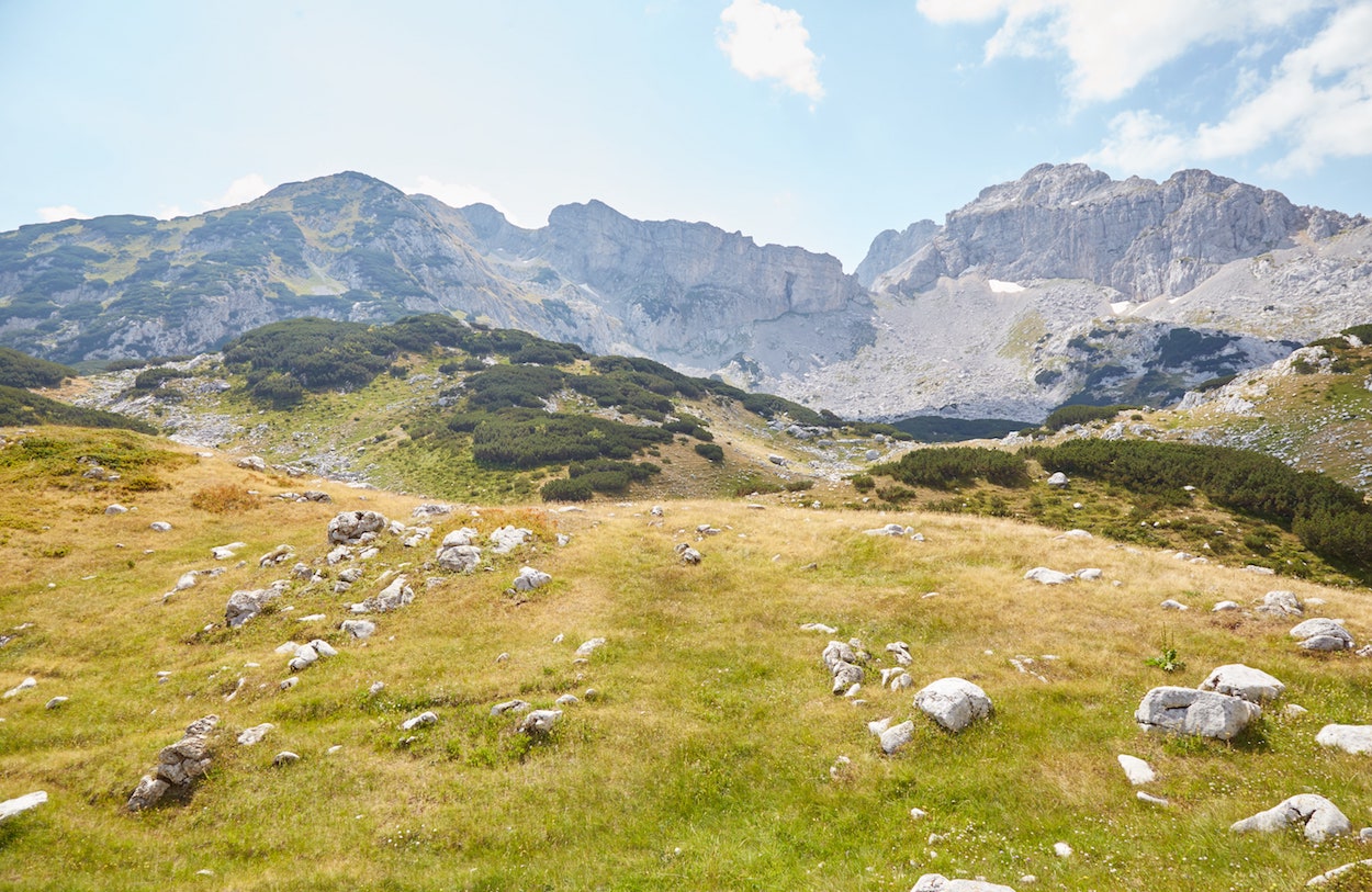
As I was heading back, I met another couple who were also trying to find Bobotov Kuk and who’d made the exact same mistake I did. I assured them that the marked trail would not take them to the peak, but they would at least see a nice viewpoint.
Understandably, they didn’t feel comfortable hiking off-trail over rough terrain, and I never saw them again.
Looking around again, I could not find even the faintest outline of a southbound trail. But I decided to head south through Gornja Ališnica, trying to align my GPS position to the trail outlined on Maps.me. I had no idea what to do otherwise.
Now that I do know, I can tell you what to look for. Looking up, the mountains seem to form a huge wall. But looking closely, you should notice a gap in the middle – almost like an Egyptian pylon.
It’s up the hill and through that gap that you must hike. If it looks scary and slippery, well, it is. But it’s the only way to Bobotov Kuk from this side.
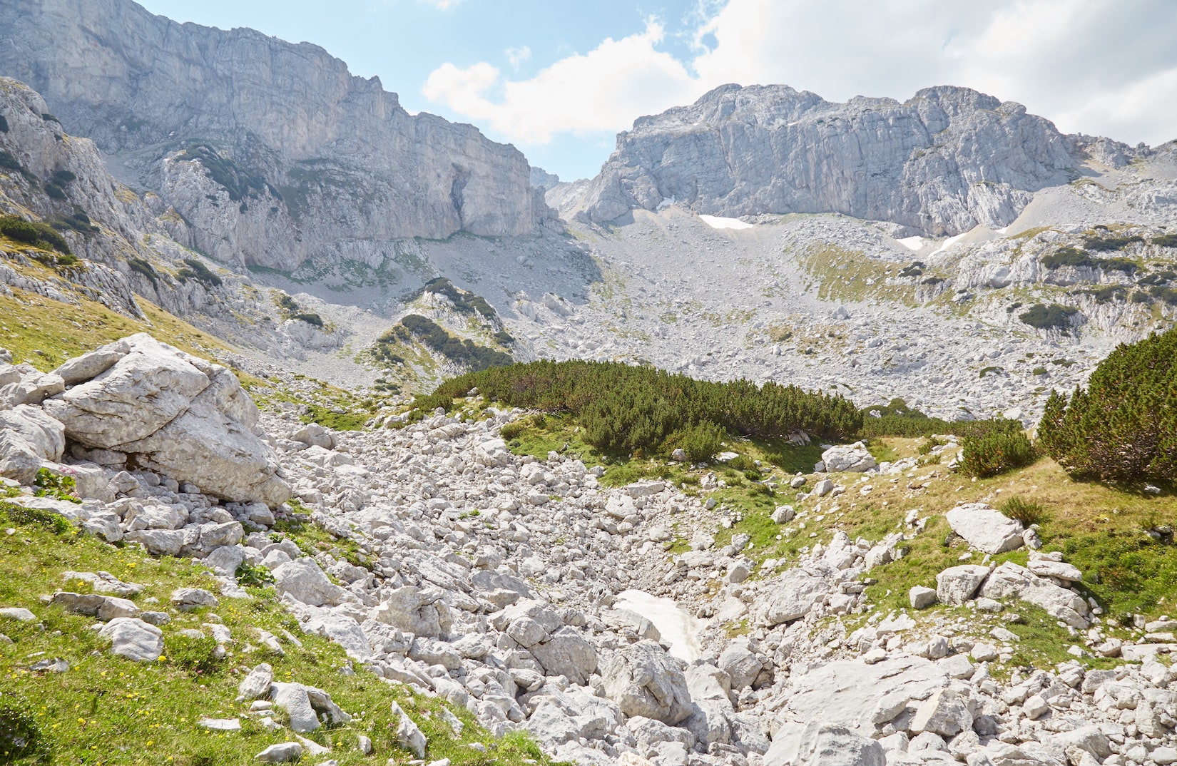
Not understanding that the gap in the mountains was where I was supposed to be heading, I kept walking and walking southeast, still hoping to find a trail of some sort.
It was only after hitting a dead-end that I figured the ‘pylon’ opening would be the only way to get closer to Bobotuv Kuk (as mentioned, there are zero signs or trail markers here).
As I now know, the best way to approach this gap is directly from the center, where you should also see several snow patches – even in summer.
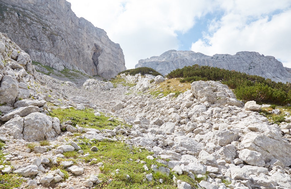
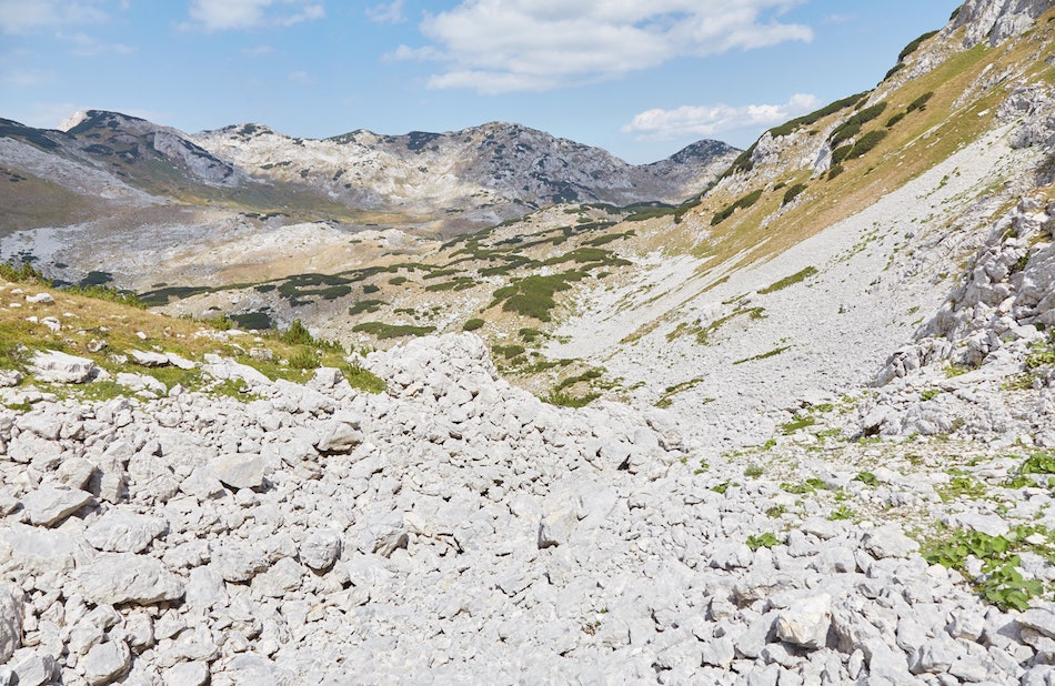
While pretty much this entire area is comprised of loose rocks and very slippery, the rocks in the center, which I’d later climb down, are larger and more stable.
Having come all the way east, though, I ended up hiking to the gap from the far left, where the rocks were a lot smaller and looser. I picked up someone’s dropped water bottle around here, and it was somewhat reassuring to know I wasn’t the very first person to attempt this ascent.
My strategy was to walk on the exposed vegetation as much as possible. There was more friction here and I’d have something to grab onto in case I slipped.
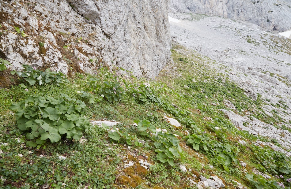
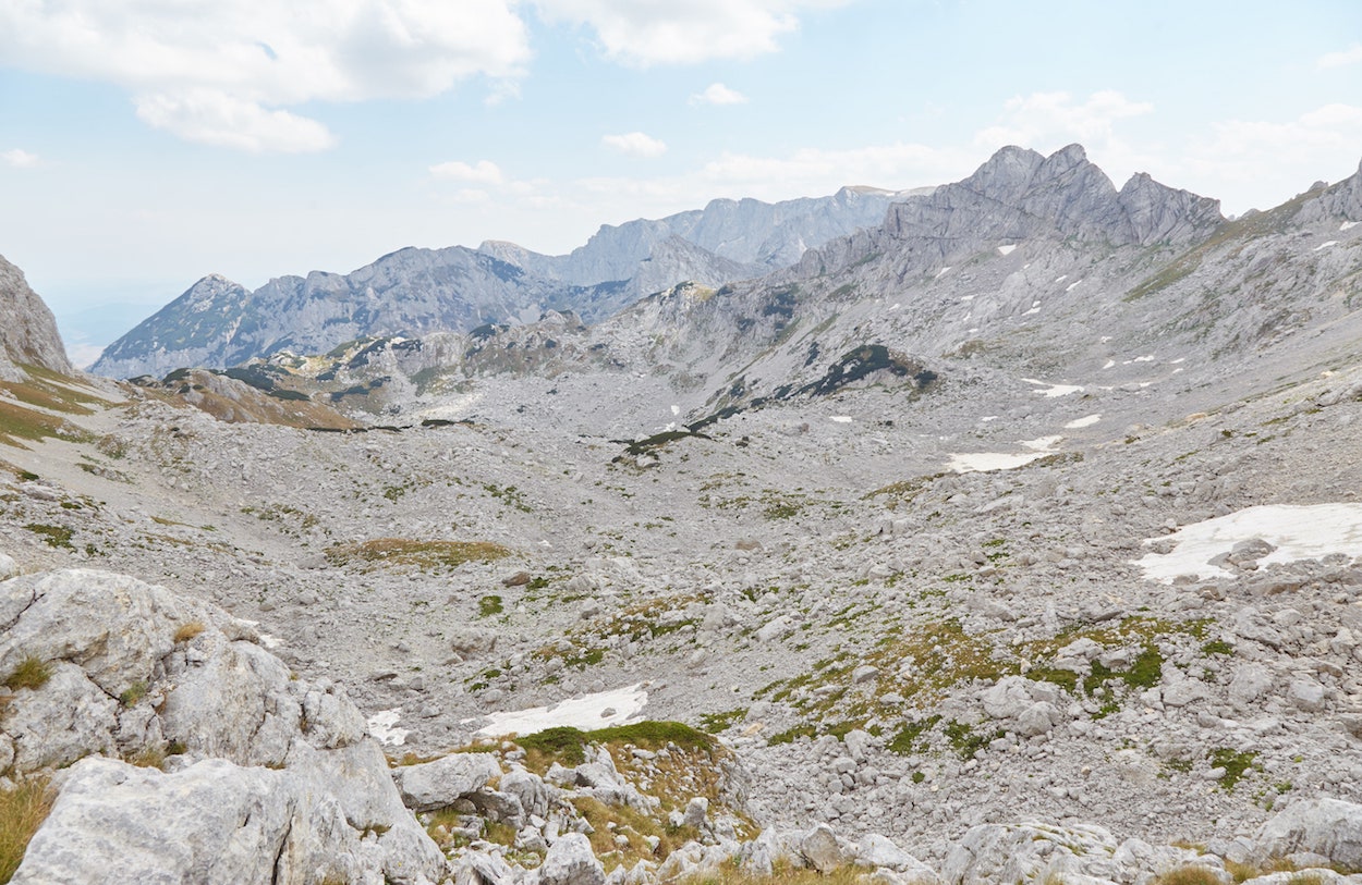
And I did slip a few times. But I thankfully made it to the gap without getting hurt. Entering the gap, I was simultaneously met with both relief and fear. While I made it past one obstacle, there was nothing but rocky terrain in front of me as far as the eye could see.
Bobotov Kuk was finally in view, but I still had no idea how to approach it. I noticed a small group of hikers approaching the gap from the other direction, however, and I waited until they were closer to talk to them.
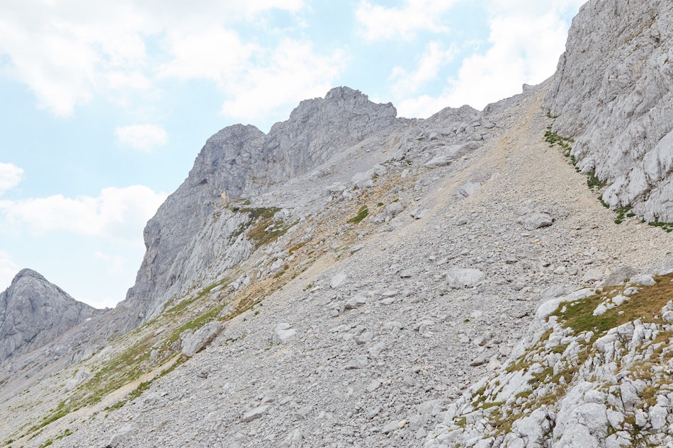
They had indeed just climbed Bobotov Kuk (from Sedlo), and they were now hiking back to Žabljak, they said. They were telling me how once I got closer to Bobotov Kuk, I’d have to go around the left to find the final trail up. They also mentioned something about seeing trail markers.
However, as they were pointing in the general direction of Bobotov Kuk, it appeared to me like they were pointing to the tall ridge to the right of us. From where we were standing, it certainly seemed like that was the most direct route to Bobotov Kuk.
But this was a misunderstanding, and I ultimately ended up climbing the wrong way as a result.

While I can’t say for sure, after reaching the ‘pylon,’ I believe you’re supposed to head straight down into the middle of the large valley. Getting to the other side, you should eventually find a steep trail up to the top of Bobotov Kuk.
While I’d largely given up on Maps.me by this point, I probably should’ve given it another glance before I made my next move.
Seeing trail markers painted on the side of the rocks to my right, and I felt confident that I was headed in the right direction. But these markers actually lead me to a different peak: Bezimeni Vrh.
Bezimeni Vrh is Durmitor National Park’s – and Montenegro’s – second-highest peak, at 2,487 m high. That’s just 35 m shorter than Bobotov Kuk.
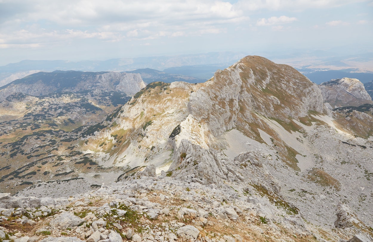
Despite there being markers on the rocks, there was no trail of any kind, and the hike up was incredibly slippery and steep. I had to be careful. Very careful. But eventually, I made it. And from the top, I was rewarded with an even clearer view of Škrčka Lake.
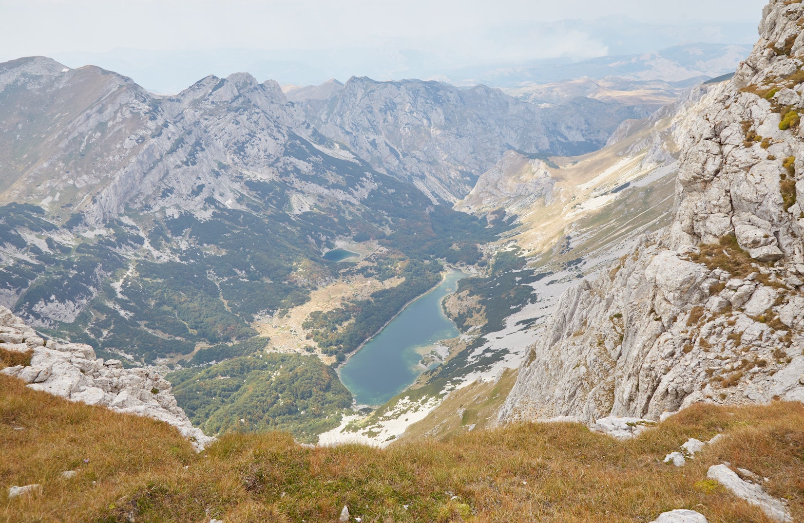
And looking straight ahead, I could also see a clear view of Bobotov Kuk. In fact, this is probably the most spectacular view of the peak you can get from anywhere in the park.
Looking at the top, I was able to make out several people who’d just completed their climb. And there were quite a few more on their way up. This was more people than I’d encountered throughout the entire hike from Žabljak! Obviously, they’d all come from Sedlo.
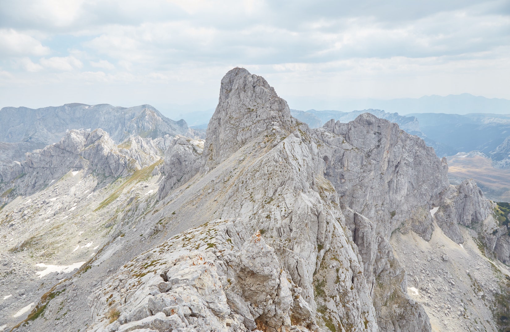
But what was also clear was that there was no direct path to Bobotov Kuk from here. Not only is the ridge extremely narrow and steep, but there was also a large gap that wasn’t apparent earlier.
I was feeling very confused and had no idea what to do. As mentioned earlier, the only way up was probably via the long walk across the valley floor. But with no signs or trail markers, I didn’t want to bet on it.
Furthermore, not only was I utterly exhausted, but I’d already wasted so much time with the lake viewpoint detour and time was no longer on my side. If I wanted to get back to Žabljak and make it out of the forest before dark, I had no choice but to call it a day and focus on the return hike.
But with terrain like this, getting down would be no easy task.
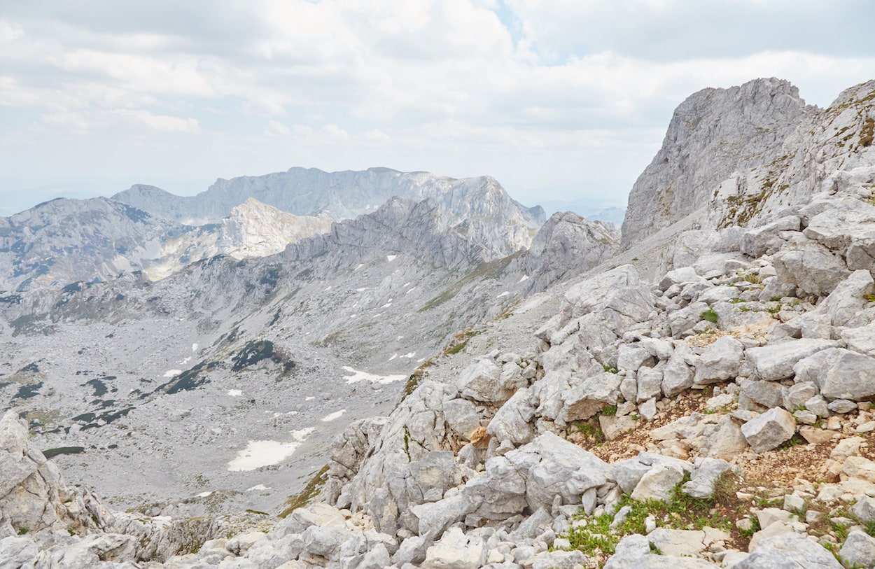
In looking for what seemed to be the easiest route down, I ended up getting lost, losing sight of the red and white markers that had led me up.
And every time I found an area that looked promising, I’d start descending, only to encounter a sudden drop or steep cliff! A couple of times I had to make yet another difficult climb back to the top and start over again.
I was completely alone up here and suddenly realized what a dangerous predicament I was in. In addition to my fatigue and hunger, all sorts of worries began to flood my head. ‘What if I can’t find a way down? What if I slip and injure myself and nobody comes by?’
Setting off for the hike that morning, I’d never anticipated ending up in such a situation. But this was by far the most dangerous hike I’d ever attempted.
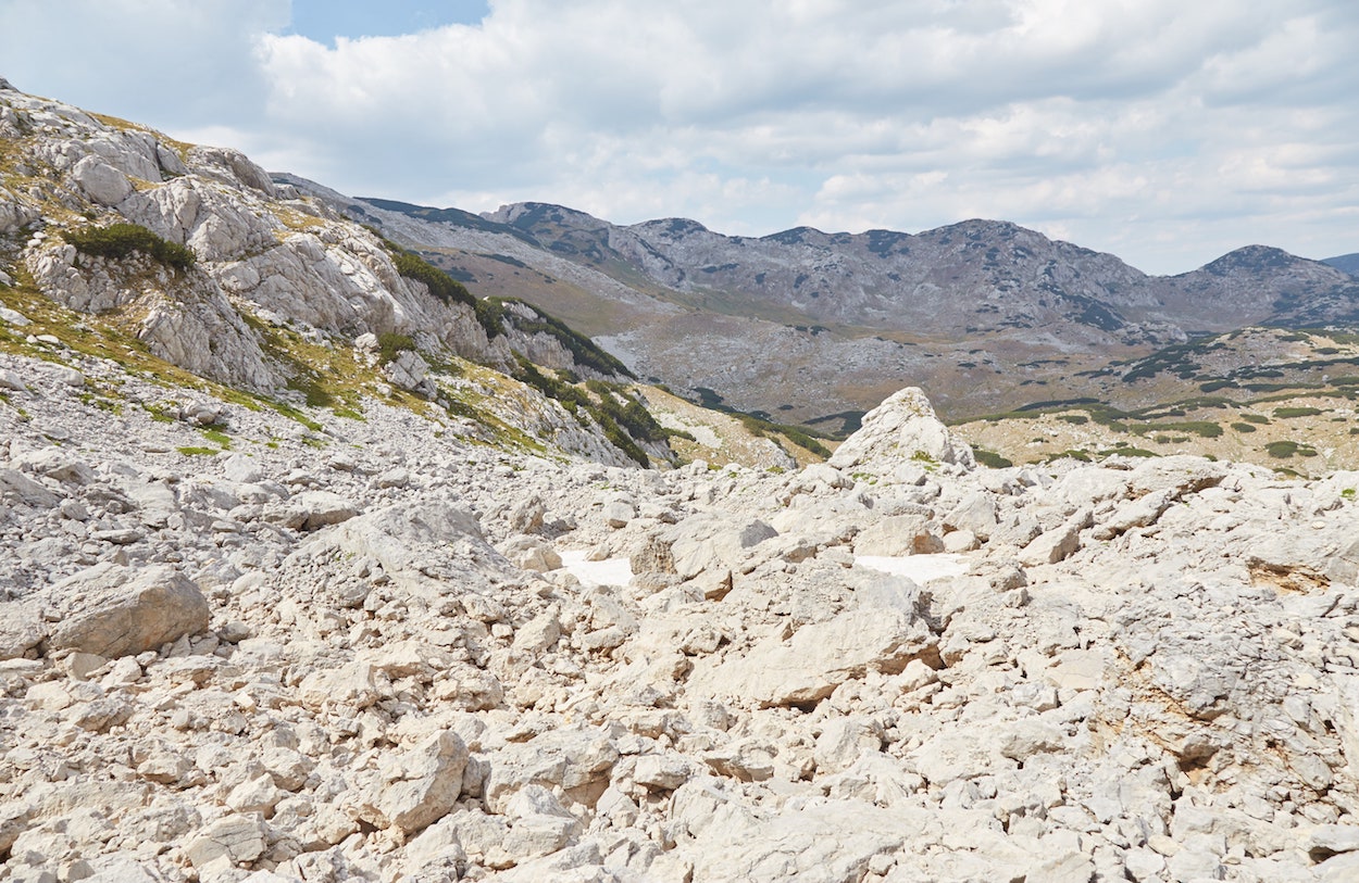
Trying my best to keep my cool, I tried again to find the trail markers. After some more failed attempts, I finally found them. But getting up here was slippery enough. Coming back the same exact way just didn’t seem possible.
I opted to come down via a slightly different section that seemed to have bigger rocks. My plan was to land each step on the larger, more stable rocks and hope for the best.
For a little while, my plan was working. Most of the large rocks were indeed stable, and I gradually made my descent one step at a time. But, stepping on the next big rock – which looked like all the others – it immediately flipped over and began tumbling down the mountain, bringing me with it!
Within a split second, I slipped and fell hard on my side on a large pile of rocks. What’s more, is that my right leg was caught between two larger rocks, causing the lower half of my leg to twist 45 degrees in the wrong direction.
My elbows and hands were scraped and slightly bleeding. But by some miracle, I hadn’t hit my head – even though I’d come very close. I thought my leg might be done for, however. With a sprained knee, getting back to Žabljak would be impossible.
All I knew was that I was still alive, and the near-death experience gave me a major boost of adrenaline. I got back up, feeling energized and with a heightened sense of awareness. Amazingly, I could walk just fine. And further adding to the string of miracles, even my camera had survived unscathed!
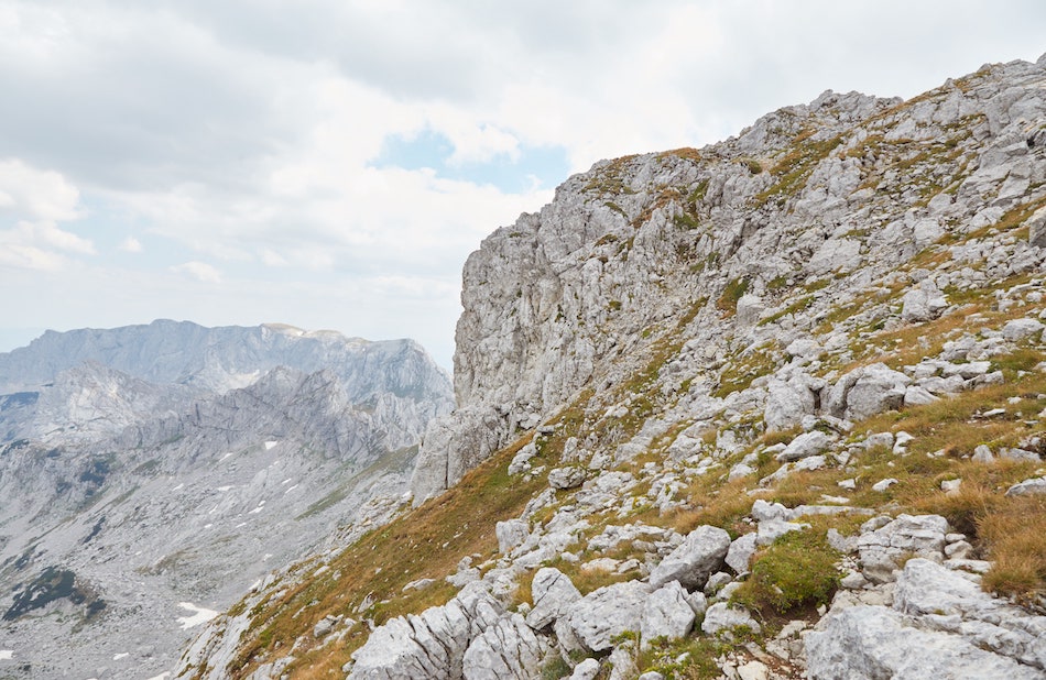
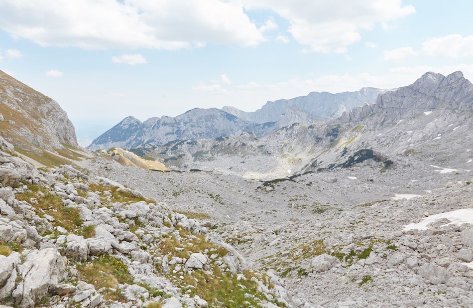
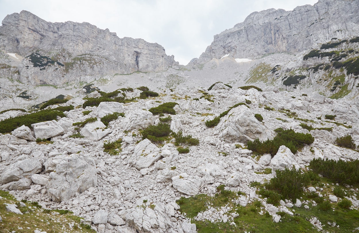
Hiking back down to the ‘pylon,’ I slipped a few more times, but only on my butt, and I was able to get back up without a problem.
My next challenge was to make the long hike down from the ‘pylon’ gap to the valley floor. This time I chose the direct, middle path. And I was happy to find the rocks in this area much larger and sturdier than where I’d just come from.
Amazingly, my leg wasn’t actually injured at all, and I made it all the way down without falling. The descent felt like an eternity, however.
And so I eventually found the marked trail and made the long, several-hour trip back to Žabljak. I was bruised, banged up and exhausted beyond words. But I was just happy to be alive.
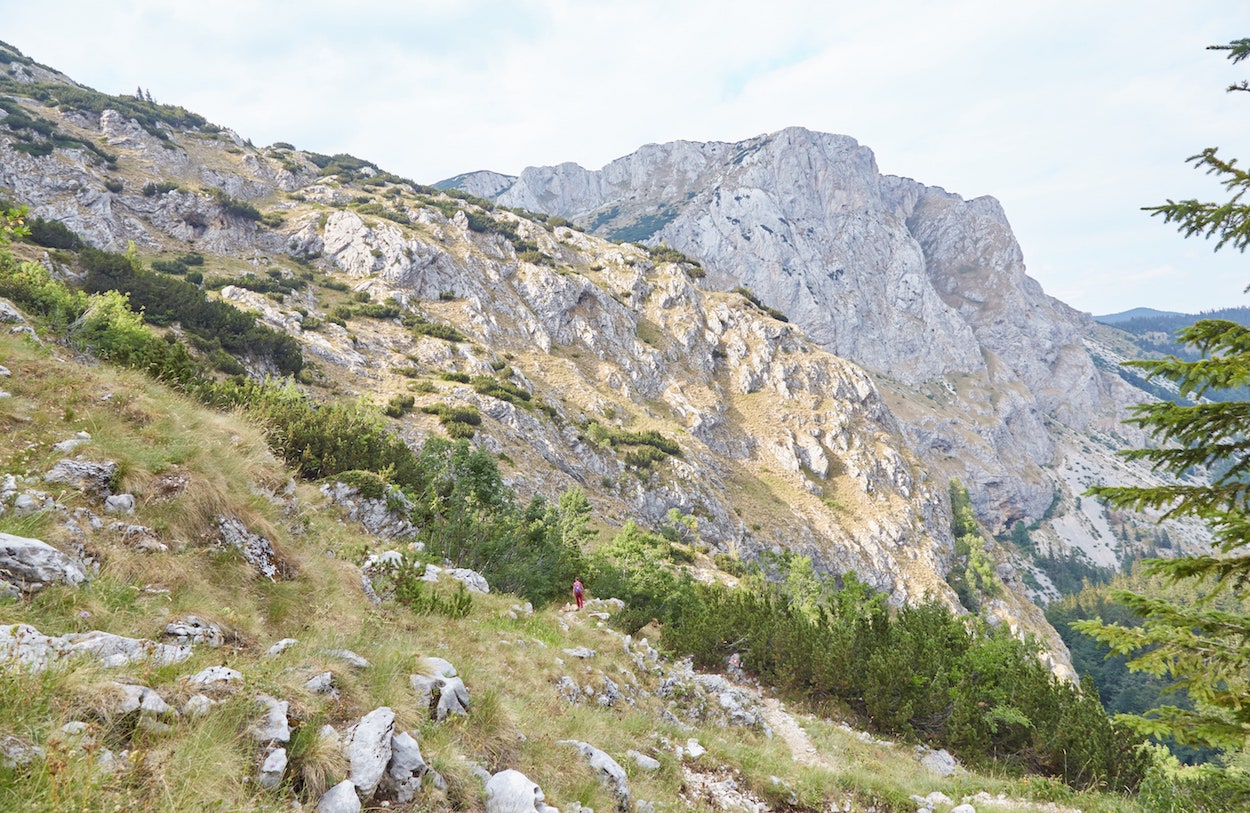
Despite being grateful to have survived, I was admittedly feeling disappointed about failing to reach Bobotuv Kuk. But later learning that I’d actually conquered Bezimeni Vrh, which is only slightly shorter, I didn’t feel so bad.
It should go without saying that I don’t recommend anyone copy the route I took past the ‘pylon’ – even if someone painted trail markers there. If you’re interested in Bezimeni Vrh in particular, this site is a good source of information that details some other routes to get there.
Finally reaching my guest house in the evening, the manager kindly offered me a shot of rakia – a popular local spirit – which really hit the spot. I then showered and enjoyed a long, deep sleep.
Additional Info
During my time at Durmitor National Park, I stayed at a place called Rooms Apartment Durmitor, about 15 minutes on foot from the Black Lake. For just €10 (including VAT) per night, I had a private room with a shared bathroom. While the sound insulation was rather poor, it wasn’t a big issue because the other guests went to bed early.
The owners were also very friendly and hospitable, and I’d recommend it for anyone wishing to stay near the Black Lake. But where’s the best location for you?
Žabljak is the city which serves as the gateway to Durmitor National Park, and it’s the only place you’ll find supermarkets and restaurants.
If you’re only interested in easier hikes/walks, like hiking to the Curevac viewpoint and to the Black Lake, you can easily get to those places from central Žabljak.
Staying further west, however, gives you a head start for those hikes. And the area around the Black Lake is also a good base from which to hike to Škrčka Lake.
As mentioned above, staying further west would also give you a head start for hiking to Bobotuv Kuk the long way. But now having attempted it, I recommend most people just shell out the money for a taxi to Sedlo, In that case, staying in Žabljak would be just fine, though staying near the Black Lake would at least give you a shorter return hike.
The best way to get to Žabljak is by bus. It’s best connected to the capital, Podgorica, and Montenegro’s second-largest city of Nikšić.
For those coming from Budva or Kotor, you can find one morning bus per day run by a company called R-Line.
The problem is that if you want to get back to those places, R-Line’s only bus departing from Žabljak leaves at 17:55 (as of 2021).
Wanting to return to Kotor, I simply took a morning bus to Nikšić and then transferred to a Kotor-bound bus.
The Žabljak bus station is completely unstaffed, though there are timetables posted on the wall outside. Here’s a summary of the basic routes as of 2021.
From Podgorica to Žabljak (various bus companies)
10:00, 12:30, 15:38, 17:05
From Žabljak to Nikšić / Podgorica
6:10, 8:50, 12:15, 13:30, 15:44 16:55
Budva /Kotor to Žabljak (R-Line Bus Company)
Budva Departure: 8:45
Kotor Departure: 9:40
Zabjlak Arrival: 13:30
Žabljak to Kotor/Budva
17:55
Kotor arrival: 21:45
Budva arrival: 22:30
As mentioned above, hiking to Bobotov Kuk can be quite challenging and dangerous. If you’re not on a strict budget, going with a local guide would be a great idea.
This popular tour involves a guide taking you up via the Sedlo route (not the one described above).

Hey there! Amazing to read your story! I hiked the same way up to Bobotuv Kuk yesterday, and have some new insights for people wanting to do this as well. Over time, the route is represented now as well in all trails, and the marks are ‘visible’ at the beginning. The only thing right now is the huge amount of snow! Make sure you are experienced in walking in snow (mountaineering experience, for instance), since it is a very steep hike over snow (and bring hiking poles (or an ice axe)). Furthermore, at this moment, the trail to the top is too dangerous to take to the top (where the other path from the other valley joins the path starting from Zabljak). The advice of people coming down there was to scramble up straight after you have made the turn around the mountain until you reach the higher cables. Be aware that this is not hiking anymore. We decided to go back to Dobri do (and lift back), since it is even more dangerous to hike that steep snow down. I hope this can help someone!
Thanks a lot for this update! That’s great that the hike is now on AllTrails. And that’s important to know about snow still being on the trail in late May/early June. It seems like park officials still have a lot more maintenance to do on this trail.